Loading...
Loading map...2024 Map of Stavanger
USGS Topo · Published 2024About this map
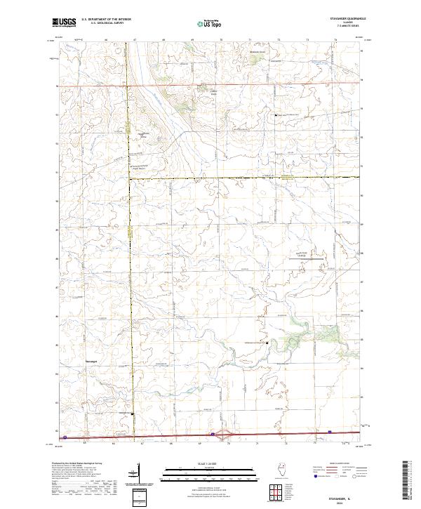
The settlement of Stavanger anchors this portion of the Illinois prairie, located where the boundaries of LaSalle, Kendall, and Grundy Counties converge. The landscape is defined by the winding course of Nettle Creek and its tributaries, which cut through a network of section-line roads and named woodland patches such as Apakeska Grove and Holdermans Grove. These groves likely represent original timber stands preserved amidst the expansive agricultural grid that dominates the region.
Find a feature on this map
54 named features on this map. Tap any name to fly to it.
Don’t see what you’re looking for? This feature index may not catch every label — zoom into the map to look around manually.
Map Details
Date Portrayed2024
Date Published2024
PublisherU.S. Geological Survey
Map TypeTopographic
Scale1:24000
Physical Dimensions24 x 29 inches
Editions of this 2024 Stavanger Map
This is the sole edition of this map. No revisions or reprints were ever made.
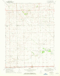
Historical Maps of Nettle Creek Through Time
Featured Locations
- Miller Township, IL
- Mission Township, IL
- Nettle Creek Township, IL
- Stavanger, Miller Township
- Nettle Creek, Nettle Creek Township
Source Details
SourceU.S. Geological Survey
CopyrightPublic Domain