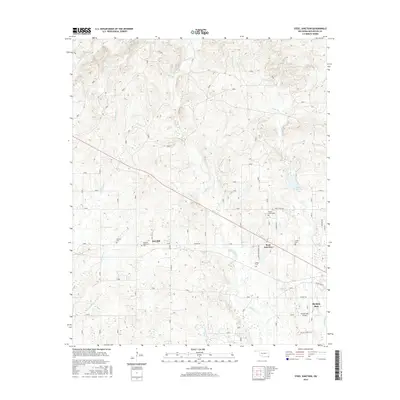
2016 Map of Steel Junction
USGS Topo · Published 2016About this map
The southeastern Oklahoma timberlands meet the growing outskirts of Broken Bow in this modern-era study of McCurtain County. The landscape is defined by the dense drainage network of the Lukfata Cr and S Boktuklo Cr, alongside the southern reaches of Broken Bow Lake. Local genealogy and community history are anchored by numerous cemeteries, including Tohwali Cem, Watsons Memorial Cem, and Lukfata Cem, which are scattered among the timbered ridges and rural crossroads.
Find a feature on this map
41 named features on this map. Tap any name to fly to it.
Don’t see what you’re looking for? This feature index may not catch every label — zoom into the map to look around manually.
Map Details
Editions of this 2016 Steel Junction Map
This is the sole edition of this map. No revisions or reprints were ever made.
Other maps of this area

1902 · Lukfata
USGS Topo · 1:125,000

1950 · Mcalester
USGS Topo · 1:250,000

1950 · Idabel
USGS Topo · 1:24,000

1950 · Shults
USGS Topo · 1:24,000

1951 · Idabel
USGS Topo · 1:24,000

1951 · Garvin
USGS Topo · 1:24,000

1951 · Shults
USGS Topo · 1:24,000

1953 · Texarkana
USGS Topo · 1:250,000

1956 · Texarkana
USGS Topo · 1:250,000

1959 · Golden
USGS Topo · 1:62,500