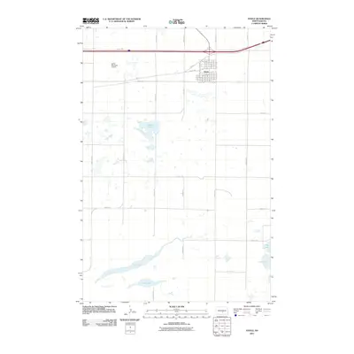
2011 Map of Steele
USGS Topo · Published 2011About this map
The town of Steele serves as a central hub in this high-plains landscape, where the local street grid is defined by thoroughfares like Mitchell Ave N and Indiana Ave SW. This 2011 survey captures the area's transition from an aviation and transport center, anchored by the Steele Municipal Airport, to a natural mosaic of prairie potholes and seasonal water bodies. To the south and west, the elongated reaches of Long Lake dominate the terrain, while the eastern edge is defined by the proximity of Alkali Lake and Lake Etta. The map highlights a rigid section-line road network, including 40th St SE and 25th Ave SE, which underscores the systematic agricultural development of Kidder County. The presence of Weber Lake near the center of the quadrangle illustrates the scattered wetland character typical of the North Dakota glaciated plains.
Find a feature on this map
38 named features on this map. Tap any name to fly to it.
Don’t see what you’re looking for? This feature index may not catch every label — zoom into the map to look around manually.
Map Details
Editions of this 2011 Steele Map
This is the sole edition of this map. No revisions or reprints were ever made.
Other maps of this area

1951 · Driscoll
USGS Topo · 1:62,500

1952 · Dawson
USGS Topo · 1:24,000

1952 · Steele NE
USGS Topo · 1:24,000

1952 · Steele
USGS Topo · 1:24,000

1952 · Steele NW
USGS Topo · 1:24,000

1953 · Jamestown
USGS Topo · 1:250,000

1954 · Bismarck
USGS Topo · 1:250,000

1956 · Jamestown
USGS Topo · 1:250,000

1958 · Bismarck
USGS Topo · 1:250,000

1975 · Lake Geneva
USGS Topo · 1:24,000