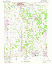
1965 Map of Steeleville
USGS Topo · Published 1982About this map
Sparta and Steeleville anchor this Randolph County landscape during a period of transition in the mid-1960s, with updates reflecting changes into the early 1980s. The region's industrial character is defined by the extensive Strip Mine operations and numerous areas designated as Reclaimed Strip Mine, illustrating the scale of coal extraction and subsequent land recovery. A dense network of railroads, including the Missouri Pacific and Gulf Mobile and Ohio, weave through the terrain to service these industrial sites and small settlements like Eden and Blair.
Find a feature on this map
29 named features on this map. Tap any name to fly to it.
Don’t see what you’re looking for? This feature index may not catch every label — zoom into the map to look around manually.
Map Details
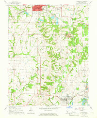
Editions of this 1965 Steeleville Map
2 editions found
Other maps of this area

1912 · Baldwin
USGS Topo · 1:62,500

1914 · Baldwin
USGS Topo · 1:62,500

1914 · Coulterville
USGS Topo · 1:62,500

1915 · Chester
USGS Topo · 1:62,500

1916 · Campbell Hill
USGS Topo · 1:62,500

1917 · Coulterville
USGS Topo · 1:62,500

1918 · Campbell Hill
USGS Topo · 1:62,500

1942 · Baldwin
USGS Topo · 1:62,500

1947 · Chester
USGS Topo · 1:62,500

1949 · Paducah
USGS Topo · 1:250,000