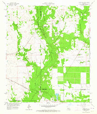
1959 Map of Steep Gully
USGS Topo · Published 1960About this map
The boundary lines of Vernon Parish, Rapides Parish, and Allen Parish converge in this rural central Louisiana landscape. The area is defined by a dense network of country churches, including Occupy Ch No 1, Occupy Ch No 2, and Freedom Ch, suggesting a deeply rooted community structure in the late 1950s. The southern portion of the map is dominated by the Gulf Colorado and Santa Fe railroad, which runs parallel to a local Levee near the Elizabeth Cemetery.
Find a feature on this map
23 named features on this map. Tap any name to fly to it.
Don’t see what you’re looking for? This feature index may not catch every label — zoom into the map to look around manually.
Map Details
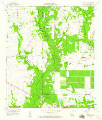
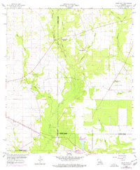
Editions of this 1959 Steep Gully Map
3 editions found
Other maps of this area

1935 · Pawnee
USGS Topo · 1:31,680

1935 · Oakdale
USGS Topo · 1:31,680

1942 · Oakdale
USGS Topo · 1:62,500

1943 · Leander
USGS Topo · 1:62,500

1947 · Steep Gully
USGS Topo · 1:31,680

1947 · Elizabeth
USGS Topo · 1:31,680

1947 · Grant
USGS Topo · 1:31,680

1947 · Pitkin
USGS Topo · 1:31,680

1948 · Grant
USGS Topo · 1:24,000

1948 · Elizabeth
USGS Topo · 1:24,000