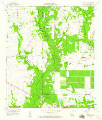
1959 Map of Steep Gully
USGS Topo · Published 1964About this map
Tenmile Creek and Steep Gully define the rural topography of this 1959 survey, situated at the junction of Vernon, Rapides, and Allen Parishes. The landscape is characterized by a network of country churches that served the isolated timber and farming communities of the mid-century, including Occupy Ch No 1 and Occupy Ch No 2. These religious centers often sat adjacent to family burial grounds like Tenmile Cem and West Cem.
Find a feature on this map
24 named features on this map. Tap any name to fly to it.
Don’t see what you’re looking for? This feature index may not catch every label — zoom into the map to look around manually.
Map Details
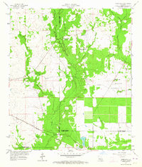
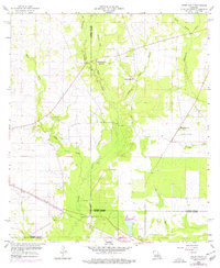
Editions of this 1959 Steep Gully Map
3 editions found
Other maps of this area

1935 · Pawnee
USGS Topo · 1:31,680

1935 · Oakdale
USGS Topo · 1:31,680

1942 · Oakdale
USGS Topo · 1:62,500

1943 · Leander
USGS Topo · 1:62,500

1947 · Steep Gully
USGS Topo · 1:31,680

1947 · Elizabeth
USGS Topo · 1:31,680

1947 · Grant
USGS Topo · 1:31,680

1947 · Pitkin
USGS Topo · 1:31,680

1948 · Grant
USGS Topo · 1:24,000

1948 · Elizabeth
USGS Topo · 1:24,000