
1904 Map of Stehekin
USGS Topo · Published 1904About this map
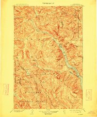
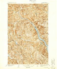
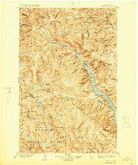
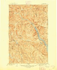
Lake Chelan dominates this high-altitude landscape, serving as the primary corridor for early 20th-century settlement in a region defined by the Washington Forest Reserve. The map documents a time when access to the interior was dictated by water and narrow mountain passes, with small outposts like Stehekin, Moore, and Lucerne hugging the shoreline. One of the most intriguing industrial features is the Holden Railroad, a short line disconnected from the national rail network, supporting localized activity near the settlement of Holden deep in the mountains. The terrain is a complex web of drainage systems including the Stehekin River and Bridge Creek, which provided natural routes for miners and early forest rangers. To the east, the Twisp River headwaters and Twisp Pass show the connection toward the Methow Valley, while landmarks like Rainbow Falls and Refrigerator Harbor mark the specialized geography of the lake's northern reach.
Find a feature on this map
82 named features on this map. Tap any name to fly to it.
Don’t see what you’re looking for? This feature index may not catch every label — zoom into the map to look around manually.
Map Details
Editions of this 1904 Stehekin Map
5 editions found
Other maps of this area

1899 · Glacier Peak
USGS Topo · 1:125,000

1899 · Methow
USGS Topo · 1:125,000

1901 · Glacier Peak
USGS Topo · 1:125,000

1901 · Chelan
USGS Topo · 1:125,000

1901 · Methow
USGS Topo · 1:125,000

1901 · Chiwaukum
USGS Topo · 1:125,000

1902 · Skykomish
USGS Topo · 1:125,000

1902 · Stehekin
USGS Topo · 1:125,000

1904 · Chiwaukum
USGS Topo · 1:125,000

1905 · Skykomish
USGS Topo · 1:125,000