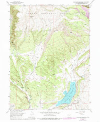
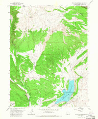
1965 Map of Steinaker Reservoir
USGS Topo · Published 1985About this map
Steinaker Reservoir serves as the central focal point of this survey, surrounded by the Steinaker State Recreation Area and the rugged southern reaches of the Ashley National Forest. The landscape reveals a complex network of water management, with the High Line Canal, Upper Canal, and several other named ditches like the Pitt Ditch channeling water through the arid terrain. Near the Dry Fork of Ashley Creek, cultural history is noted by the presence of petroglyphs and the path of the Old Military Road.
Find a feature on this map
50 named features on this map. Tap any name to fly to it.
Don’t see what you’re looking for? This feature index may not catch every label — zoom into the map to look around manually.
Map Details
Editions of this 1965 Steinaker Reservoir Map
2 editions found
Other maps of this area

1885 · Ashley
USGS Topo · 1:250,000

1906 · Marsh Peak
USGS Topo · 1:125,000

1907 · Jensen
USGS Topo · 1:125,000

1908 · Marsh Peak
USGS Topo · 1:125,000

1910 · Jensen
USGS Topo · 1:125,000

1917 · Vernal
USGS Topo · 1:125,000

1950 · Burnt Cabin Gorge
USGS Topo · 1:24,000

1950 · Dyer Mountain
USGS Topo · 1:24,000

1954 · Vernal
USGS Topo · 1:250,000

1958 · Vernal
USGS Topo · 1:250,000