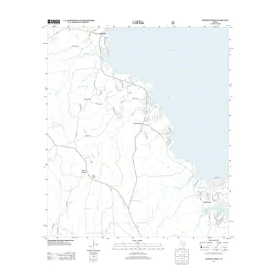
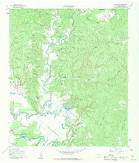
2013 Map of Stephen Creek
USGS Topo · Published 2013About this map
Livingston Reservoir dominates the eastern horizon of this San Jacinto County landscape, where the waters meet a network of creeks and timbered ridges. The settlement of Pointblank sits near the northern reaches, while the community of Stephen Creek anchors the central terrain. This modern survey illustrates the persistent rural character of the area, defined by family burial grounds like Robinson Cem and Harrell Cem that reflect generations of local residency.
Find a feature on this map
59 named features on this map. Tap any name to fly to it.
Don’t see what you’re looking for? This feature index may not catch every label — zoom into the map to look around manually.
Map Details
Editions of this 2013 Stephen Creek Map
This is the sole edition of this map. No revisions or reprints were ever made.
Other maps of this area

1954 · Beaumont
USGS Topo · 1:250,000

1957 · Beaumont
USGS Topo · 1:250,000
1960 · Blanchard
USGS Topo · 1:24,000
1960 · Maynard
USGS Topo · 1:24,000
1960 · Carlisle
USGS Topo · 1:24,000
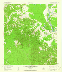
1960 · Stephen Creek
USGS Topo · 1:24,000
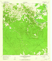
1960 · Camilla
USGS Topo · 1:24,000
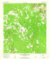
1960 · Coldspring
USGS Topo · 1:24,000
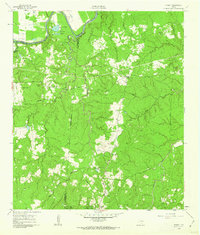
1961 · Staley
USGS Topo · 1:24,000
1961 · Onalaska
USGS Topo · 1:24,000