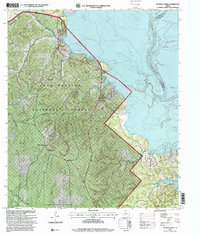
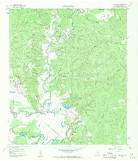
1997 Map of Stephen Creek
USGS Topo · Published 2000About this map
Sam Houston National Forest dominates this landscape in San Jacinto County, where the dense woodlands meet the western shores of Lake Livingston. The 1990s imagery used for this revision shows a terrain shaped by the Trinity River and a network of named drainages like McCoy Creek and Caney Creek. Settlement patterns are distinctly rural, centered on small communities such as Pointblank, Stephen Creek, and Willow Springs.
Find a feature on this map
29 named features on this map. Tap any name to fly to it.
Don’t see what you’re looking for? This feature index may not catch every label — zoom into the map to look around manually.
Map Details
Editions of this 1997 Stephen Creek Map
This is the sole edition of this map. No revisions or reprints were ever made.
Other maps of this area

1954 · Beaumont
USGS Topo · 1:250,000

1957 · Beaumont
USGS Topo · 1:250,000
1960 · Blanchard
USGS Topo · 1:24,000
1960 · Maynard
USGS Topo · 1:24,000
1960 · Carlisle
USGS Topo · 1:24,000
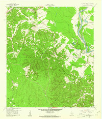
1960 · Stephen Creek
USGS Topo · 1:24,000
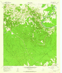
1960 · Camilla
USGS Topo · 1:24,000
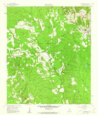
1960 · Coldspring
USGS Topo · 1:24,000
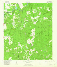
1961 · Staley
USGS Topo · 1:24,000
1961 · Onalaska
USGS Topo · 1:24,000