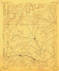
1890 Map of Stephenville
USGS Topo · Published 1910About this map
The Bosque River serves as the central artery for this 1887 survey, illustrating the early settlement patterns of Central Texas before the turn of the century. As the seat of Erath County, Stephenville appears as the primary hub, radiating wagon roads toward outlying farming communities like Lingleville and Morgans Mill. The influence of transportation on regional growth is clearly visible through the path of the Texas Central Railroad, which connects the prominent rail towns of Dublin and Alexander.
Find a feature on this map
94 named features on this map. Tap any name to fly to it.
Don’t see what you’re looking for? This feature index may not catch every label — zoom into the map to look around manually.
Map Details
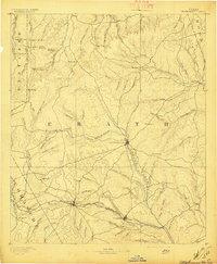
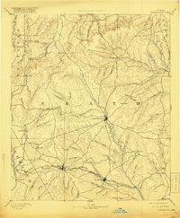
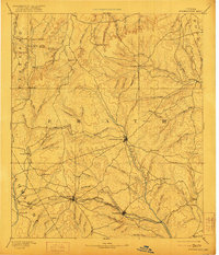
Editions of this 1890 Stephenville Map
5 editions found
Other maps of this area

1888 · Hamilton
USGS Topo · 1:125,000

1888 · Meridian
USGS Topo · 1:125,000

1889 · Granbury
USGS Topo · 1:125,000

1889 · Brownwood
USGS Topo · 1:125,000

1890 · Stephenville
USGS Topo · 1:125,000

1890 · Breckenridge
USGS Topo · 1:125,000

1891 · Weatherford
USGS Topo · 1:125,000

1891 · Palo Pinto
USGS Topo · 1:125,000

1893 · Weatherford
USGS Topo · 1:125,000

1894 · Hamilton
USGS Topo · 1:125,000