Loading...
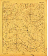
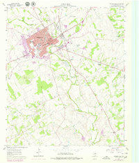
Loading map...1890 Map of Stephenville
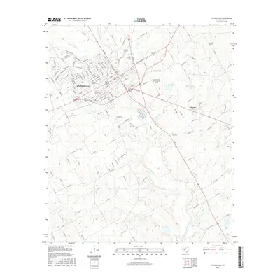
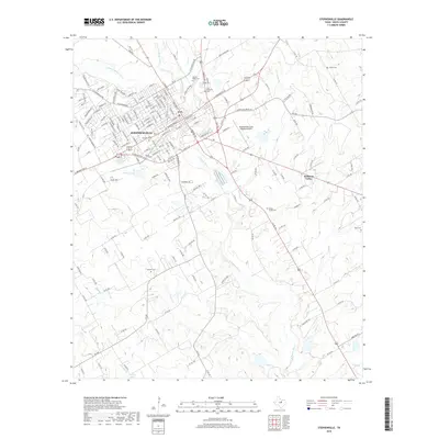
USGS Topo · Published 1922About this map
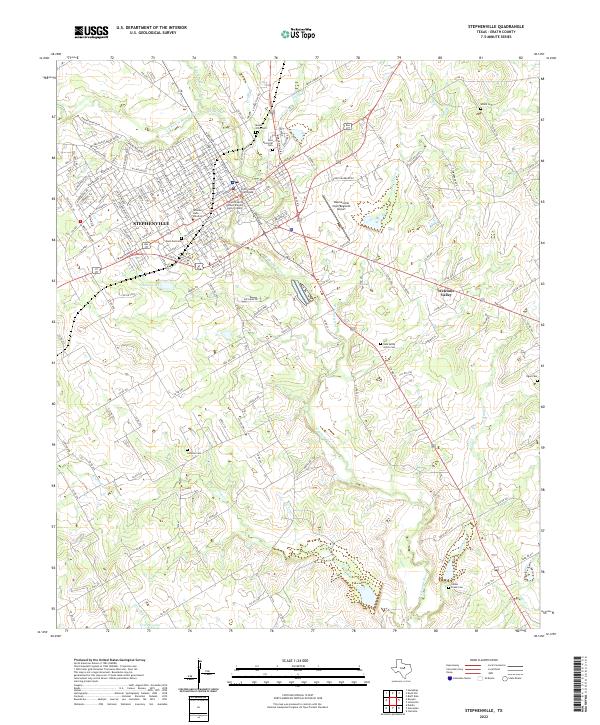
The rolling prairies and Cross Timbers of north-central Texas appear here as they were surveyed in the late 1880s, revealing a landscape transitioning from frontier outposts to established rail towns. Stephenville serves as the central hub, situated along the South Bosque River. To the south, the expansion of the Texas Central Railroad is the primary driver of growth, connecting established points like Dublin and Alexander.
Find a feature on this map
93 named features on this map. Tap any name to fly to it.
Don’t see what you’re looking for? This feature index may not catch every label — zoom into the map to look around manually.
Map Details
Date Portrayed1890
Date Published1922
PublisherU.S. Geological Survey
Map TypeTopographic
Scale1:125,000
Physical Dimensions17 x 19.9 inches
Editions of this 1890 Stephenville Map
5 editions found

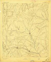
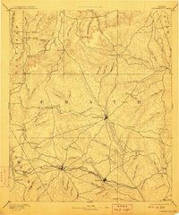
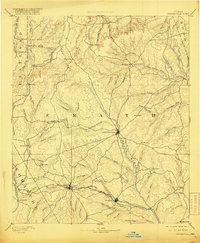
Historical Maps of Stephenville Through Time
9 maps found

Featured Locations
Source Details
SourceU.S. Geological Survey
CopyrightPublic Domain