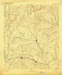
1890 Map of Stephenville
USGS Topo · Published 1918About this map
The Bosque River and its tributaries carve a complex drainage system across this part of north-central Texas, with Stephenville serving as a central hub at the river's bend. Surveyed in 1887, the landscape reveals the early footprint of the Texas Central Railroad as it cuts through the southern portion of the sheet, connecting Dublin and Alexander. This rail corridor was essential for the movement of cotton and livestock from Erath County to broader markets.
Find a feature on this map
95 named features on this map. Tap any name to fly to it.
Don’t see what you’re looking for? This feature index may not catch every label — zoom into the map to look around manually.
Map Details
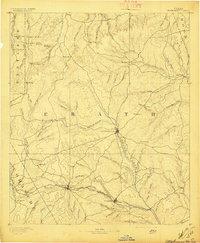
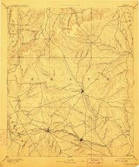
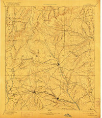
Editions of this 1890 Stephenville Map
5 editions found
Other maps of this area

1888 · Hamilton
USGS Topo · 1:125,000

1888 · Meridian
USGS Topo · 1:125,000

1889 · Granbury
USGS Topo · 1:125,000

1889 · Brownwood
USGS Topo · 1:125,000

1890 · Stephenville
USGS Topo · 1:125,000

1890 · Breckenridge
USGS Topo · 1:125,000

1891 · Weatherford
USGS Topo · 1:125,000

1891 · Palo Pinto
USGS Topo · 1:125,000

1893 · Weatherford
USGS Topo · 1:125,000

1894 · Hamilton
USGS Topo · 1:125,000