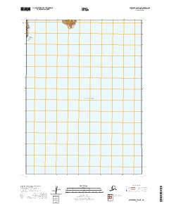
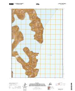
2020 Map of Stepovak Bay D-2 NE
USGS Topo · Published 2020About this map
Alaska Peninsula Aleutian Range geography defines this maritime map, where the shoreline of the Alaska Peninsula meets the northern reaches of the Gulf of Alaska. The land is sparse, dominated by the coastal protrusion of Seal Cape, which separates the open gulf from the sheltered waters of Seal Bay. This map documents a remote stretch of the Alaska Peninsula Borough, illustrating the exact interface between the volcanic terrain of the Aleutian Range and the Pacific. The limited presence of named features underscores the isolation of this coastal wilderness, where surveying is focused primarily on the significant maritime landmarks and the natural topography of the shoreline rather than human settlement or infrastructure.
Find a feature on this map
6 named features on this map. Tap any name to fly to it.
Don’t see what you’re looking for? This feature index may not catch every label — zoom into the map to look around manually.
Map Details
Editions of this 2020 Stepovak Bay D-2 NE Map
This is the sole edition of this map. No revisions or reprints were ever made.
Other maps of this area

1951 · Stepovak Bay
USGS Topo · 1:250,000

1963 · Stepovak Bay D-2
USGS Topo · 1:63,360

1963 · Chignik A-2
USGS Topo · 1:63,360
1963 · Chignik A-1
USGS Topo · 1:63,360

1963 · Chignik
USGS Topo · 1:250,000

1963 · Stepovak Bay
USGS Topo · 1:250,000

1969 · Stepovak Bay
USGS Topo · 1:250,000
2020 · Stepovak Bay D-2 NW
USGS Topo · 1:25,000
2020 · Chignik A-2 SW
USGS Topo · 1:25,000
2020 · Chignik A-2 SE
USGS Topo · 1:25,000