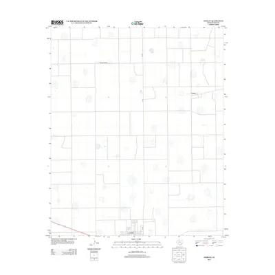
2012 Map of Sterley
USGS Topo · Published 2012About this map
Lockney anchors the southern edge of this West Texas landscape, where the flat terrain of the High Plains is etched by a rigid grid of agricultural roads and irrigation features. The settlement of Sterley sits at a junction in the northeast, connected by the straight transit of FM-378 as it bisects the cotton and grain fields of Floyd County. The map captures a quintessential Llano Estacado environment, dotted with numerous small, seasonally dry playa lakes that characterize the local hydrology. This 2012 survey documents the persistent rural infrastructure of the region, including the Outback Airport, which serves the specialized aerial needs of this intensive farming community.
Find a feature on this map
4 named features on this map. Tap any name to fly to it.
Don’t see what you’re looking for? This feature index may not catch every label — zoom into the map to look around manually.
Map Details
Editions of this 2012 Sterley Map
This is the sole edition of this map. No revisions or reprints were ever made.
Other maps of this area

1954 · Plainview
USGS Topo · 1:250,000

1958 · Plainview
USGS Topo · 1:250,000

1965 · Whiteley
USGS Topo · 1:24,000

1965 · Lockney SE
USGS Topo · 1:24,000

1965 · Silverton SW
USGS Topo · 1:24,000

1965 · Lockney
USGS Topo · 1:24,000

1966 · Sterley
USGS Topo · 1:24,000

1966 · South Plains
USGS Topo · 1:24,000

1968 · Plainview SE
USGS Topo · 1:24,000

1968 · Aiken
USGS Topo · 1:24,000