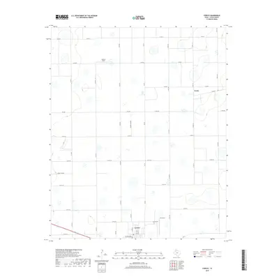
2019 Map of Sterley
USGS Topo · Published 2019About this map
The agricultural plains of Floyd County are defined here by a geometric grid of rural roads and scattered playa lakes. The town of Lockney serves as the primary hub in the south, where the local community is anchored by the Lockney Cem and a network of residential streets including W Washington St and N Main St. To the north, the smaller settlement of Sterley sits at the junction of FM 2286 and Co Rd 119, representing the persistent rail-and-road intersections that supported the region's farming economy. The landscape is notably dotted with small, seasonal wetlands and private aviation strips, such as Outback Airport and BFS Airport, which facilitate the vast distances between High Plains operations. Unique local nomenclature is visible in utilitarian labels like Turn Rd and Farmer Turnrow, reflecting the practical layout of the West Texas panhandle.
Find a feature on this map
32 named features on this map. Tap any name to fly to it.
Don’t see what you’re looking for? This feature index may not catch every label — zoom into the map to look around manually.
Map Details
Editions of this 2019 Sterley Map
This is the sole edition of this map. No revisions or reprints were ever made.
Other maps of this area

1954 · Plainview
USGS Topo · 1:250,000

1958 · Plainview
USGS Topo · 1:250,000

1965 · Whiteley
USGS Topo · 1:24,000

1965 · Lockney SE
USGS Topo · 1:24,000

1965 · Silverton SW
USGS Topo · 1:24,000

1965 · Lockney
USGS Topo · 1:24,000

1966 · Sterley
USGS Topo · 1:24,000

1966 · South Plains
USGS Topo · 1:24,000

1968 · Plainview SE
USGS Topo · 1:24,000

1968 · Aiken
USGS Topo · 1:24,000