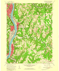
1958 Map of Steubenville East
USGS Topo · Published 1959About this map
The Ohio River corridor serves as the industrial and social spine of this 1958 survey, where the concentrated development of Steubenville and Wellsburg meets the steep, dissected terrain of the Appalachian Plateau. The map reveals a dense network of institutional life at mid-century, including the College of Steubenville and numerous parochial centers such as St Peters Sch and St Agnes Sch. Beyond the river towns, the landscape transitions into ridge-top settlements and rural enclaves like Hooverson Heights and Chapman Addition. Heavy rail infrastructure, including the Pennsylvania and the Pittsburgh and West Virginia lines, underscores the region's historical role as a transportation hub. From the residential streets of La Belle View to the rural quiet of Lower Buffalo Ch, the map documents a region balancing heavy industry with established hilltop communities.
Find a feature on this map
75 named features on this map. Tap any name to fly to it.
Don’t see what you’re looking for? This feature index may not catch every label — zoom into the map to look around manually.
Map Details
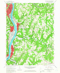
Editions of this 1958 Steubenville East Map
2 editions found
Other maps of this area

1902 · Wheeling
USGS Topo · 1:62,500

1904 · Steubenville
USGS Topo · 1:62,500

1904 · Burgettstown
USGS Topo · 1:62,500

1906 · Burgettstown
USGS Topo · 1:62,500

1907 · Claysville
USGS Topo · 1:62,500

1935 · Wheeling
USGS Topo · 1:62,500

1935 · Steubenville
USGS Topo · 1:62,500

1942 · Wheeling
USGS Topo · 1:62,500

1942 · Steubenville
USGS Topo · 1:62,500

1951 · Canton
USGS Topo · 1:250,000