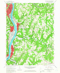
1958 Map of Steubenville East
USGS Topo · Published 1966About this map
The Ohio River corridor bustles with industrial and institutional growth in the late 1950s, anchoring the communities of Steubenville and Wellsburg. The landscape is a study in mid-century development, where the College of Steubenville and numerous parochial schools like St Peters Sch and St Anthony Sch serve a growing population. Beyond the riverfront, the terrain transitions into the residential ridges of Archer Heights and Hooverson Heights, while the interior is marked by strip mines and industrial sites like the chemical works at Coketown. Transport infrastructure defines the era, from the Pennsylvania RR lines following the riverbanks to the Pittsburgh and Wabash Bridge spanning the water. Rural life persists in the eastern hills around Colliers and Eldersville, where historic congregations at Tent Ch and Ebenezer Ch remain local landmarks.
Find a feature on this map
83 named features on this map. Tap any name to fly to it.
Don’t see what you’re looking for? This feature index may not catch every label — zoom into the map to look around manually.
Map Details
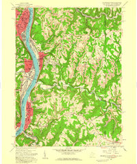
Editions of this 1958 Steubenville East Map
2 editions found
Other maps of this area

1902 · Wheeling
USGS Topo · 1:62,500

1904 · Steubenville
USGS Topo · 1:62,500

1904 · Burgettstown
USGS Topo · 1:62,500

1906 · Burgettstown
USGS Topo · 1:62,500

1907 · Claysville
USGS Topo · 1:62,500

1935 · Wheeling
USGS Topo · 1:62,500

1935 · Steubenville
USGS Topo · 1:62,500

1942 · Wheeling
USGS Topo · 1:62,500

1942 · Steubenville
USGS Topo · 1:62,500

1951 · Canton
USGS Topo · 1:250,000