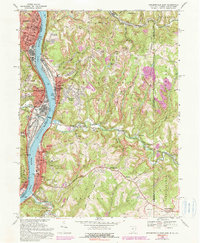
1968 Map of Steubenville East
USGS Topo · Published 1990About this map
Industrial activity along the Ohio River dominates this tri-state borderland, where the river serves as a corridor between Jefferson County, Ohio, and Brooke County, West Virginia. The valley is crowded with infrastructure including the Wabash Bridge, several filtration plants, and the extensive rail lines of the Penn Central and Norfolk and Western railroads. Heavy industry is concentrated in centers like Steubenville, Follansbee, and Mingo Junction, while the surrounding hills show evidence of extensive Strip Mine operations.
Find a feature on this map
55 named features on this map. Tap any name to fly to it.
Don’t see what you’re looking for? This feature index may not catch every label — zoom into the map to look around manually.
Map Details
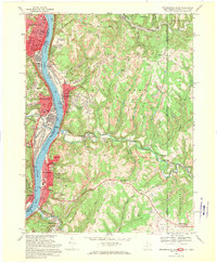
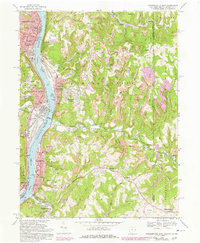
Editions of this 1968 Steubenville East Map
3 editions found
Other maps of this area

1902 · Wheeling
USGS Topo · 1:62,500

1904 · Steubenville
USGS Topo · 1:62,500

1904 · Burgettstown
USGS Topo · 1:62,500

1906 · Burgettstown
USGS Topo · 1:62,500

1907 · Claysville
USGS Topo · 1:62,500

1935 · Wheeling
USGS Topo · 1:62,500

1935 · Steubenville
USGS Topo · 1:62,500

1942 · Wheeling
USGS Topo · 1:62,500

1942 · Steubenville
USGS Topo · 1:62,500

1951 · Canton
USGS Topo · 1:250,000