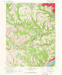
1958 Map of Steubenville West
USGS Topo · Published 1967About this map
Steubenville and its southern industrial neighbor Mingo Junction anchor this Ohio River landscape during a period of intense extraction and industrial growth. The rugged topography is defined by the winding course of Cross Creek, which serves as a corridor for the Pennsylvania railroad. Throughout the hills, extensive Strip Mine operations appear alongside family-named landmarks like Swickards Addition and Becker Highlands, illustrating the post-war suburban expansion into the Jefferson County uplands.
Find a feature on this map
79 named features on this map. Tap any name to fly to it.
Don’t see what you’re looking for? This feature index may not catch every label — zoom into the map to look around manually.
Map Details
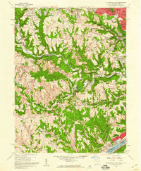
Editions of this 1958 Steubenville West Map
2 editions found
Other maps of this area

1901 · Cadiz
USGS Topo · 1:62,500

1902 · Wheeling
USGS Topo · 1:62,500

1903 · Cadiz
USGS Topo · 1:62,500

1904 · Steubenville
USGS Topo · 1:62,500

1905 · St. Clairsville
USGS Topo · 1:62,500

1935 · Wheeling
USGS Topo · 1:62,500

1935 · Steubenville
USGS Topo · 1:62,500

1942 · Wheeling
USGS Topo · 1:62,500

1942 · Steubenville
USGS Topo · 1:62,500

1951 · Canton
USGS Topo · 1:250,000