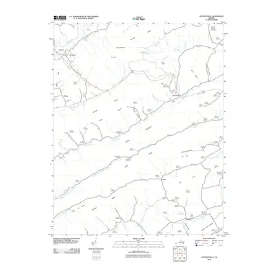
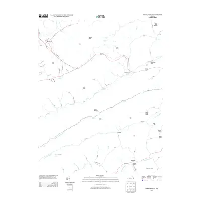
Loading...
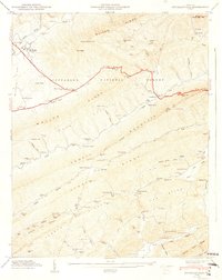
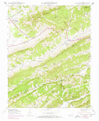
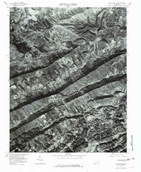
Loading map...1948 Map of Stickleyville
USGS Topo · Published 1949About this map
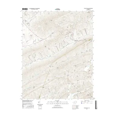
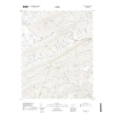
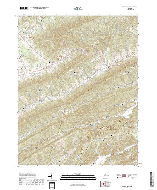
Stickleyville and the Jefferson National Forest anchor this mid-century topographic portrait of the Virginia highlands where Lee and Scott Counties meet. The landscape is defined by the heavy parallel ridges of Wallen Ridge, Wallen Mountain, and Stone Ridge, with the historical Boone Trail cutting a path through the valley floors. The settlement pattern is distinctly rural and family-oriented, evidenced by a dense network of country churches and private burial grounds such as Rasnic Cem, Hickam Cem, and Fannin Cem.
Find a feature on this map
79 named features on this map. Tap any name to fly to it.
Don’t see what you’re looking for? This feature index may not catch every label — zoom into the map to look around manually.
Map Details
Date Portrayed1948
Date Published1949
PublisherU.S. Geological Survey
Map TypeTopographic
Scale1:24,000
Physical Dimensions20.72 x 26.13 inches
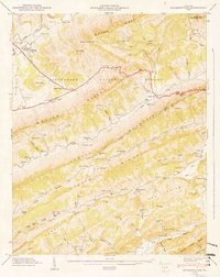
Editions of this 1948 Stickleyville Map
3 editions found
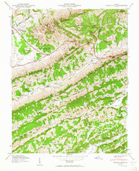
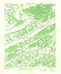
Historical Maps of Stickleyville Through Time
9 maps found
Featured Locations
Source Details
SourceU.S. Geological Survey
CopyrightPublic Domain