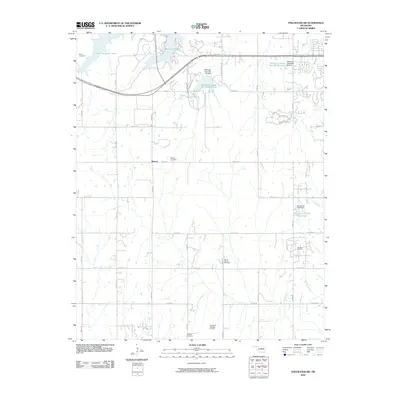
2010 Map of Stillwater SW
USGS Topo · Published 2010About this map
Carl Blackwell Lake dominates the northwest corner of this Oklahoma landscape, anchoring a network of reservoirs and water control sites that define the local geography. The settlement of Marena serves as a central point of reference, situated among a grid of section roads like Coyle Rd and N3250 Rd. The map reveals a long-standing rural community structure, evident in the numerous burial grounds scattered throughout the township, including Salem Cemetery, Marena Cemetery, Mount Vernon Cemetery, and Paradise Cemetery.
Find a feature on this map
35 named features on this map. Tap any name to fly to it.
Don’t see what you’re looking for? This feature index may not catch every label — zoom into the map to look around manually.
Map Details
Editions of this 2010 Stillwater SW Map
This is the sole edition of this map. No revisions or reprints were ever made.
Other maps of this area

1892 · Guthrie
USGS Topo · 1:62,500

1893 · Mulhall
USGS Topo · 1:62,500

1893 · Stillwater
USGS Topo · 1:62,500

1909 · Perkins
USGS Topo · 1:62,500

1954 · Oklahoma City
USGS Topo · 1:250,000

1955 · Enid
USGS Topo · 1:250,000

1957 · Oklahoma City
USGS Topo · 1:250,000

1958 · Enid
USGS Topo · 1:250,000

1963 · Oklahoma City
USGS Topo · 1:250,000

1966 · Lake Carl Blackwell
USGS Topo · 1:24,000