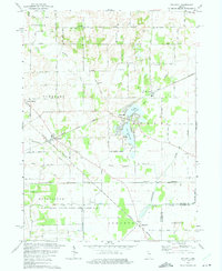
1974 Map of Stillwell
USGS Topo · Published 1975About this map
Stillwell emerges as a key railroad junction in the mid-1970s, where the Norfolk and Western lines intersect amidst the drainage basins of the Little Kankakee River and Mill Creek. The landscape is a complex mix of agricultural grid roads and preserved wetlands, most notably the Kingsbury State Fish and Game Area occupying the southern reaches. This era shows the developed recreation and residential clusters around Fish Lake, including Upper Fish Lake and Lower Fish Lake, contrasting with the more industrial infrastructure of a Pumping Sta and Substation nearby.
Find a feature on this map
45 named features on this map. Tap any name to fly to it.
Don’t see what you’re looking for? This feature index may not catch every label — zoom into the map to look around manually.
Map Details
Editions of this 1974 Stillwell Map
2 editions found
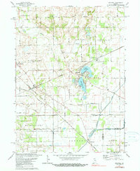
Other maps of this area

1953 · Chicago
USGS Topo · 1:250,000

1957 · Chicago
USGS Topo · 1:250,000

1958 · Lydick
USGS Topo · 1:24,000

1958 · Kingsford Heights
USGS Topo · 1:24,000

1958 · Hamlet
USGS Topo · 1:24,000

1958 · Walkerton
USGS Topo · 1:24,000

1958 · Stillwell
USGS Topo · 1:24,000

1958 · North Liberty
USGS Topo · 1:24,000

1958 · La Porte East
USGS Topo · 1:24,000

1958 · Springville
USGS Topo · 1:24,000