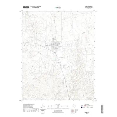
2019 Map of Stinnett
USGS Topo · Published 2019About this map
The town of Stinnett serves as a central hub in this High Plains landscape, defined by a strict grid of streets like W Broadway St and Main St. Just west of the residential center lies the Stinnett Cem, a point of interest for local genealogy. The surrounding terrain is deeply incised by drainage systems including Cottonwood Creek and Tar Box Creek, which carve through the plains toward the southeast.
Find a feature on this map
64 named features on this map. Tap any name to fly to it.
Don’t see what you’re looking for? This feature index may not catch every label — zoom into the map to look around manually.
Map Details
Editions of this 2019 Stinnett Map
This is the sole edition of this map. No revisions or reprints were ever made.
Other maps of this area

1939 · Sanford
USGS Topo · 1:62,500

1953 · Sanford
USGS Topo · 1:24,000

1953 · Plemons
USGS Topo · 1:24,000

1953 · Stinnett
USGS Topo · 1:24,000

1953 · Stinnett Station
USGS Topo · 1:24,000

1953 · Pringle
USGS Topo · 1:24,000

1953 · Phillips
USGS Topo · 1:24,000

1953 · Borger
USGS Topo · 1:24,000

1954 · Amarillo
USGS Topo · 1:250,000

1958 · Amarillo
USGS Topo · 1:250,000