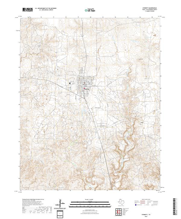
2022 Map of Stinnett
USGS Topo · Published 2022About this map
Stinnett serves as the focal point of this Panhandle landscape, dominated by its grid of residential streets and the central Hutchinson County Courthouse. The town’s history is anchored by the Stinnett Cem to the west, while the surrounding terrain transitions into the rugged drainage basins of the High Plains. Drainage patterns are clearly defined by the winding paths of Cottonwood Creek and Smokehouse Creek, which flow toward the eastern portion of the quadrangle.
Find a feature on this map
62 named features on this map. Tap any name to fly to it.
Don’t see what you’re looking for? This feature index may not catch every label — zoom into the map to look around manually.
Map Details
Editions of this 2022 Stinnett Map
This is the sole edition of this map. No revisions or reprints were ever made.
Other maps of this area

1939 · Sanford
USGS Topo · 1:62,500

1953 · Sanford
USGS Topo · 1:24,000

1953 · Plemons
USGS Topo · 1:24,000

1953 · Stinnett
USGS Topo · 1:24,000

1953 · Stinnett Station
USGS Topo · 1:24,000

1953 · Pringle
USGS Topo · 1:24,000

1953 · Phillips
USGS Topo · 1:24,000

1953 · Borger
USGS Topo · 1:24,000

1954 · Amarillo
USGS Topo · 1:250,000

1958 · Amarillo
USGS Topo · 1:250,000