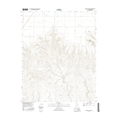
2016 Map of Stinnett Station
USGS Topo · Published 2016About this map
Stinnett Station serves as the primary landmark in this section of Hutchinson County, where the high plains of the Texas Panhandle give way to a complex system of drainages. The landscape is defined by the deep incision of Moore Creek and its various tributaries, including Carson Creek and Bent Creek, which carve through the terrain to create Waters Canyon. These seasonal waterways illustrate the erosional patterns typical of the region, creating a stark contrast between the flat upland cattle country and the broken canyonlands.
Find a feature on this map
17 named features on this map. Tap any name to fly to it.
Don’t see what you’re looking for? This feature index may not catch every label — zoom into the map to look around manually.
Map Details
Editions of this 2016 Stinnett Station Map
This is the sole edition of this map. No revisions or reprints were ever made.
Other maps of this area

1953 · Plemons
USGS Topo · 1:24,000

1953 · Stinnett
USGS Topo · 1:24,000

1953 · Stinnett Station
USGS Topo · 1:24,000

1953 · Pringle
USGS Topo · 1:24,000

1954 · Perryton
USGS Topo · 1:250,000

1954 · Amarillo
USGS Topo · 1:250,000

1958 · Perryton
USGS Topo · 1:250,000

1958 · Amarillo
USGS Topo · 1:250,000

1971 · Adobe Creek SW
USGS Topo · 1:24,000

1974 · Morse
USGS Topo · 1:24,000