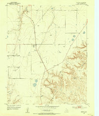
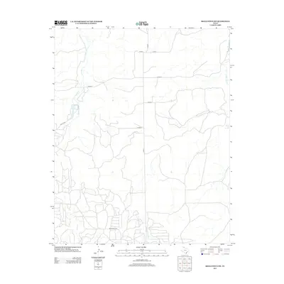
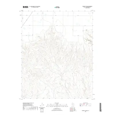
1953 Map of Stinnett Station
USGS Topo · Published 1983About this map
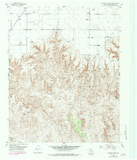
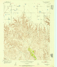
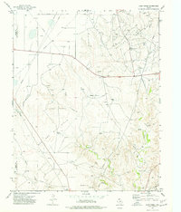
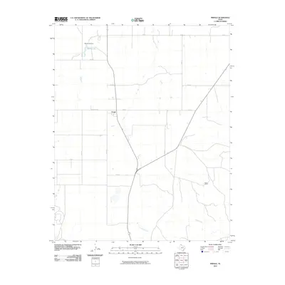
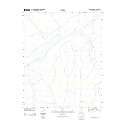
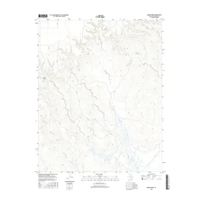
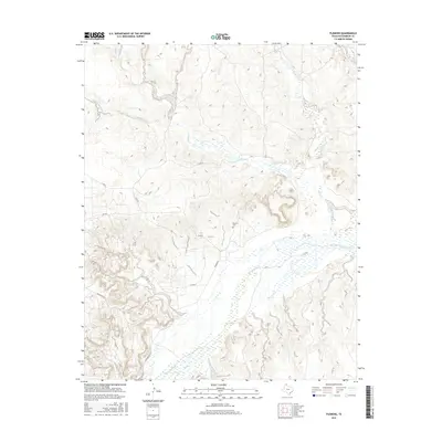
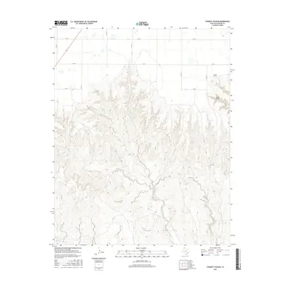
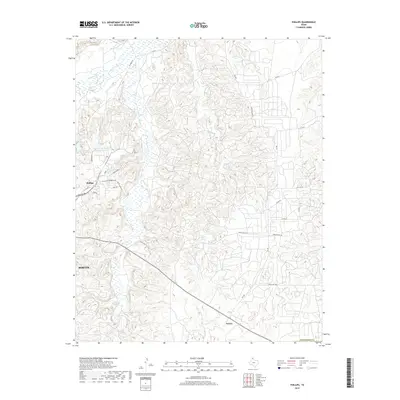
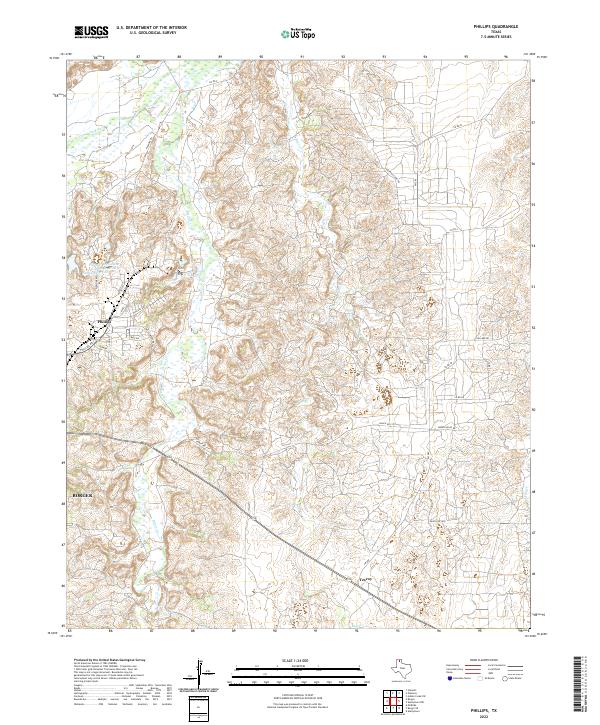
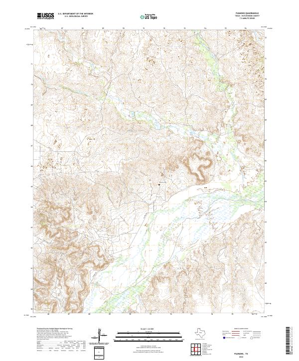
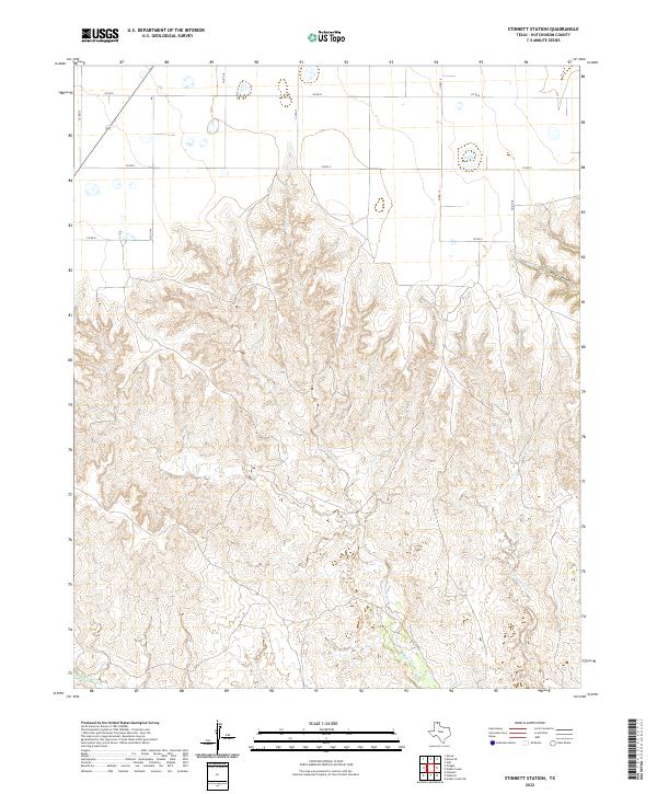
Deeply eroded canyonlands and high plains characterize this Hutchinson County landscape, centered on the hydraulic drainage patterns of Moore Creek and Bugby Creek. The terrain is marked by a significant network of windmills, such as Windmill 3258 and Windmill 3268, essential infrastructure for the isolated cattle ranching operations that defined this era of Texas Panhandle history. These water sources are scattered across the flats and tucked into the breaks, supporting the local economy near the Britain Ranch settlement.
Find a feature on this map
33 named features on this map. Tap any name to fly to it.
Don’t see what you’re looking for? This feature index may not catch every label — zoom into the map to look around manually.
Map Details
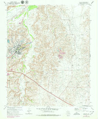
Editions of this 1953 Stinnett Station Map
2 editions found
Historical Maps of Hutchinson County Through Time
55 maps found
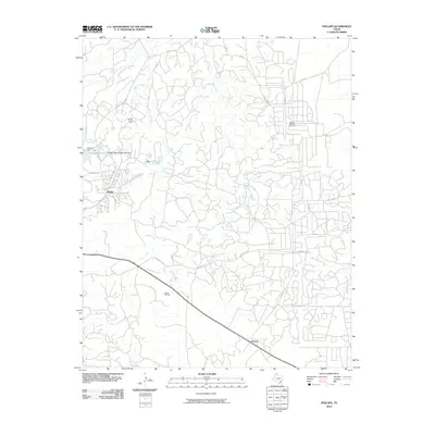
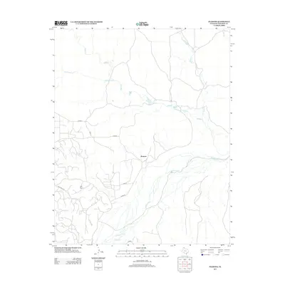
1953 Phillips
Hutchinson County, TX
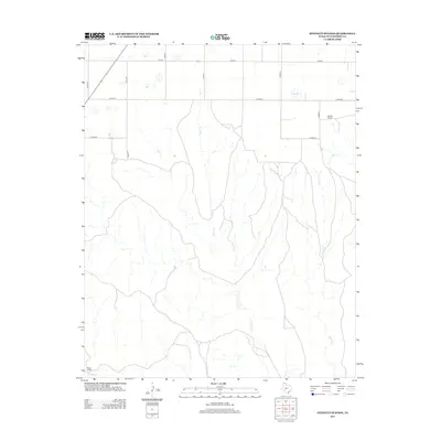
1953 Plemons
Hutchinson County, TX
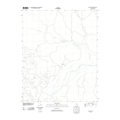
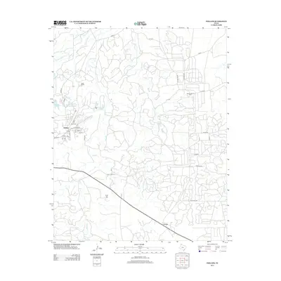
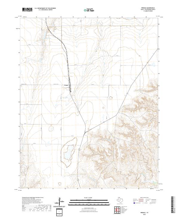
1953 Pringle
Hutchinson County, TX
1953 Stinnett Station
Hutchinson County, TX
1970 Phillips
Hutchinson County, TX
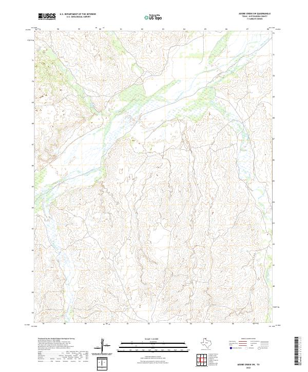
1971 Adobe Creek SW
Hutchinson County, TX
1971 Skellytown NW
Hutchinson County, TX
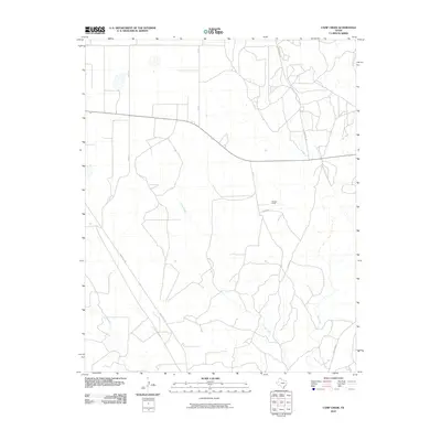
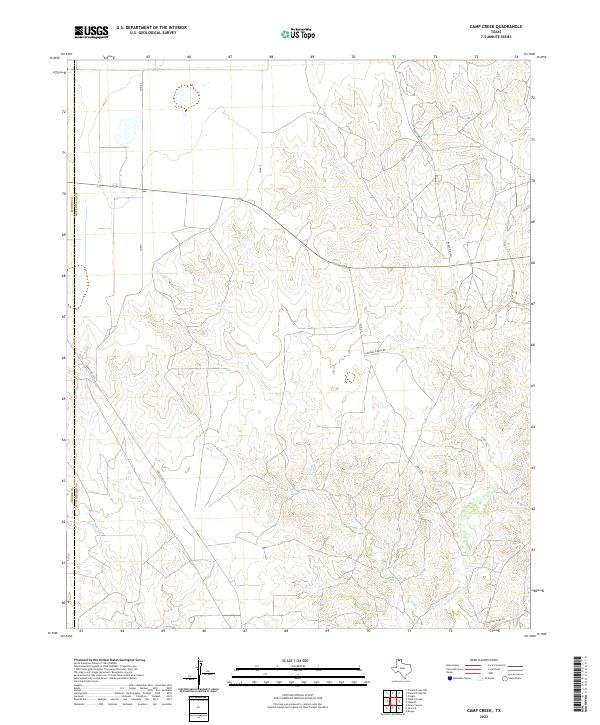
1974 Camp Creek
Hutchinson County, TX
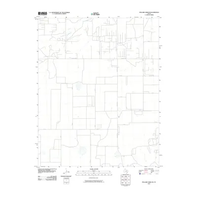
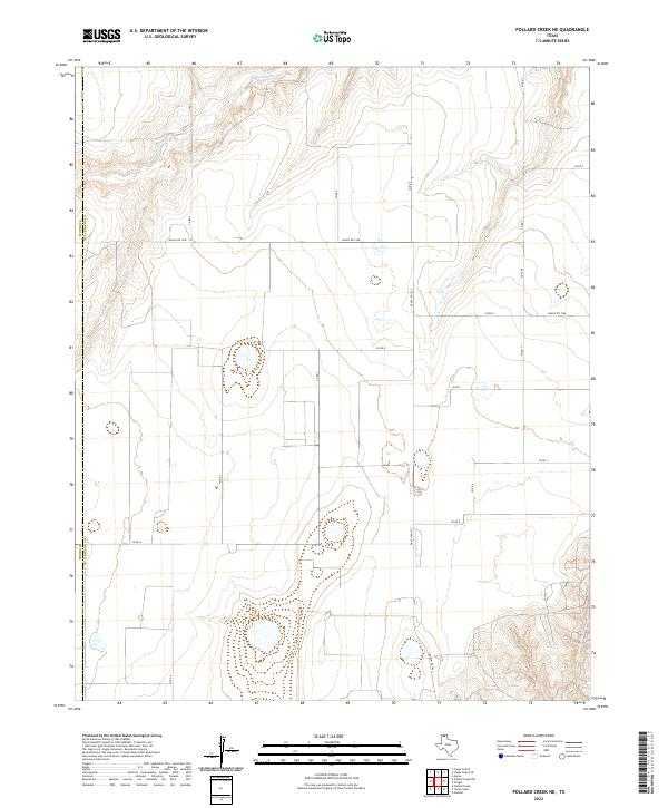
1974 Pollard Creek NE
Hutchinson County, TX
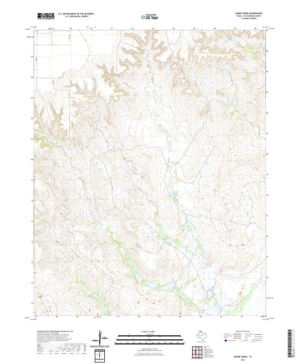
1979 Adobe Creek
Hutchinson County, TX
2010 Adobe Creek
Hutchinson County, TX

2010 Adobe Creek SW
Hutchinson County, TX
2010 Camp Creek
Hutchinson County, TX
2010 Phillips
Hutchinson County, TX
2010 Plemons
Hutchinson County, TX
2010 Pollard Creek NE
Hutchinson County, TX
2010 Pringle
Hutchinson County, TX
2010 Skellytown NW
Hutchinson County, TX
2010 Stinnett Station
Hutchinson County, TX
2012 Adobe Creek
Hutchinson County, TX
2012 Adobe Creek SW
Hutchinson County, TX
2012 Camp Creek
Hutchinson County, TX
2012 Pollard Creek NE
Hutchinson County, TX
2012 Pringle
Hutchinson County, TX
2012 Skellytown NW
Hutchinson County, TX
2012 Stinnett Station
Hutchinson County, TX
2013 Phillips
Hutchinson County, TX
2013 Plemons
Hutchinson County, TX
2016 Adobe Creek
Hutchinson County, TX
2016 Adobe Creek SW
Hutchinson County, TX
2016 Camp Creek
Hutchinson County, TX
2016 Phillips
Hutchinson County, TX
2016 Plemons
Hutchinson County, TX
2016 Pollard Creek NE
Hutchinson County, TX
2016 Pringle
Hutchinson County, TX
2016 Skellytown NW
Hutchinson County, TX
2016 Stinnett Station
Hutchinson County, TX
2019 Adobe Creek
Hutchinson County, TX
2019 Adobe Creek SW
Hutchinson County, TX
2019 Camp Creek
Hutchinson County, TX
2019 Phillips
Hutchinson County, TX

2019 Plemons
Hutchinson County, TX
2019 Pollard Creek NE
Hutchinson County, TX
2019 Pringle
Hutchinson County, TX
2019 Skellytown NW
Hutchinson County, TX
2019 Stinnett Station
Hutchinson County, TX
2022 Adobe Creek
Hutchinson County, TX
2022 Adobe Creek SW
Hutchinson County, TX
2022 Camp Creek
Hutchinson County, TX
2022 Phillips
Hutchinson County, TX
2022 Plemons
Hutchinson County, TX
2022 Pollard Creek NE
Hutchinson County, TX
2022 Pringle
Hutchinson County, TX

2022 Skellytown NW
Hutchinson County, TX
2022 Stinnett Station
Hutchinson County, TX