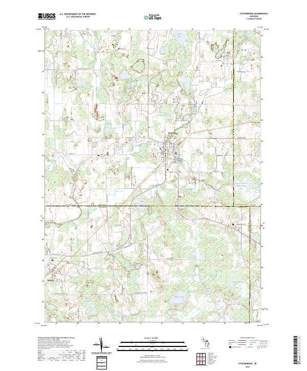
2023 Map of Stockbridge
USGS Topo · Published 2023About this map
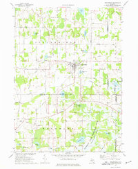
The village of Stockbridge serves as the focal point for this rural Michigan landscape, where the intersections of M 52 and Dexter Trl anchor a community defined by its glacial hydrology and agricultural roots. The terrain is notably saturated, with extensive wetlands such as the Portage Lake Swamp and the Jackson County Waterfowl Production Area providing significant conservation space. These marshes feed into a complex drainage network involving Portage River, Honey Creek, and Thornapple Creek.
Find a feature on this map
87 named features on this map. Tap any name to fly to it.
Don’t see what you’re looking for? This feature index may not catch every label — zoom into the map to look around manually.
Map Details
Editions of this 2023 Stockbridge Map
This is the sole edition of this map. No revisions or reprints were ever made.
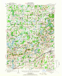
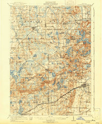
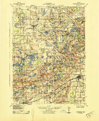
Historical Maps of Unadilla Township Through Time
5 maps found
Featured Locations
- Lyndon Township, MI
- Waterloo Township, MI
- Unadilla Township, MI
- Stockbridge Township, MI
- Stockbridge, Stockbridge Township