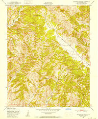
1948 Map of Stockdale Mountain
USGS Topo · Published 1952About this map
Stockdale Mountain and the surrounding Cholame Hills define this corner of Monterey County as documented just after the Second World War. The landscape is carved by complex drainages, including the steep-walled Vineyard Canyon and Portuguese Canyon, which draw toward the principal valley of Cholame Creek. Human presence is sparse in this upland terrain, marked primarily by isolated windmills and the Imusdale Cem located near the eastern edge of the survey. The topography reveals a network of seasonal watercourses such as Nelson Creek and Big Sandy Creek, emphasizing the arid ranching character of the region. A notable geographic constriction occurs at The Narrows, where the terrain tightens along the canyon floor. This survey by the Army Map Service captures the rural isolation of the area before modern development reached the interior ridges of Middle Mountain.
Find a feature on this map
17 named features on this map. Tap any name to fly to it.
Don’t see what you’re looking for? This feature index may not catch every label — zoom into the map to look around manually.
Map Details
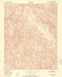
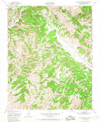
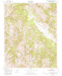
Editions of this 1948 Stockdale Mountain Map
4 editions found
Other maps of this area

1912 · Coalinga
USGS Topo · 1:125,000

1914 · Cholame
USGS Topo · 1:125,000

1915 · Priest Valley
USGS Topo · 1:125,000

1915 · Cholame
USGS Topo · 1:125,000

1917 · Cholame
USGS Topo · 1:125,000

1919 · San Miguel
USGS Topo · 1:62,500

1941 · Priest Valley
USGS Topo · 1:62,500

1942 · Parkfield
USGS Topo · 1:24,000
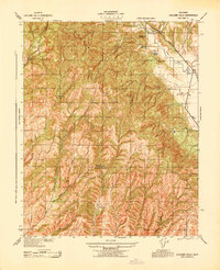
1943 · Cholame Hills
USGS Topo · 1:31,680
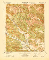
1943 · Parkfield
USGS Topo · 1:31,680