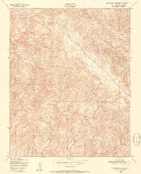
1948 Map of Stockdale Mountain
USGS Topo · Published 1952About this map
Stockdale Mountain and the Cholame Hills define this corner of Monterey County in the late 1940s, a landscape shaped by narrow drainage canyons and isolated homesteads. The terrain is marked by deep geographic features like Portuguese Canyon and Vineyard Canyon, which cut through the ridges toward the southern boundary. For those researching local history, the Imusdale Cem provides a significant genealogical anchor near the eastern edge of the survey.
Find a feature on this map
13 named features on this map. Tap any name to fly to it.
Don’t see what you’re looking for? This feature index may not catch every label — zoom into the map to look around manually.
Map Details
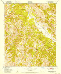
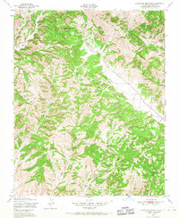
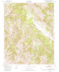
Editions of this 1948 Stockdale Mountain Map
4 editions found
Other maps of this area

1912 · Coalinga
USGS Topo · 1:125,000

1914 · Cholame
USGS Topo · 1:125,000

1915 · Priest Valley
USGS Topo · 1:125,000

1915 · Cholame
USGS Topo · 1:125,000

1917 · Cholame
USGS Topo · 1:125,000

1919 · San Miguel
USGS Topo · 1:62,500

1941 · Priest Valley
USGS Topo · 1:62,500

1942 · Parkfield
USGS Topo · 1:24,000
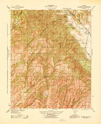
1943 · Cholame Hills
USGS Topo · 1:31,680
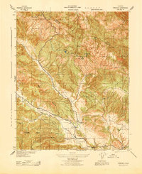
1943 · Parkfield
USGS Topo · 1:31,680