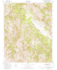
1948 Map of Stockdale Mountain
USGS Topo · Published 1980About this map
Stockdale Mountain dominates the northwestern portion of this Monterey County landscape, which transitions into the high elevations of the Cholame Hills and Middle Mountain. In the late 1940s, this area remained largely undeveloped, characterized by a complex network of seasonal drainages including Big Sandy Creek and the Middle Fork. A singular Windmill and the Immaculate Cem provide evidence of early ranching and community life in an otherwise sparse interior. The topography is defined by deep cuts such as Vine Yard Canyon and Ranchito Canyon, which converge near a distinctive geological pinch point known as The Narrows. This survey, based on 1947 aerial photography, captures the drainage patterns of Cholame Creek before significant modern alterations reached this portion of the coastal range.
Find a feature on this map
15 named features on this map. Tap any name to fly to it.
Don’t see what you’re looking for? This feature index may not catch every label — zoom into the map to look around manually.
Map Details
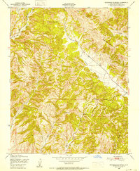
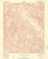
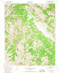
Editions of this 1948 Stockdale Mountain Map
4 editions found
Other maps of this area

1912 · Coalinga
USGS Topo · 1:125,000

1914 · Cholame
USGS Topo · 1:125,000

1915 · Priest Valley
USGS Topo · 1:125,000

1915 · Cholame
USGS Topo · 1:125,000

1917 · Cholame
USGS Topo · 1:125,000

1919 · San Miguel
USGS Topo · 1:62,500

1941 · Priest Valley
USGS Topo · 1:62,500

1942 · Parkfield
USGS Topo · 1:24,000
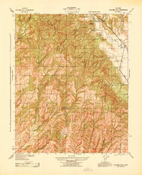
1943 · Cholame Hills
USGS Topo · 1:31,680
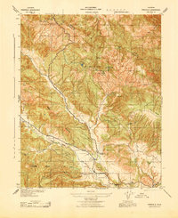
1943 · Parkfield
USGS Topo · 1:31,680