Loading...
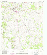
Loading map...1961 Map of Stockdale
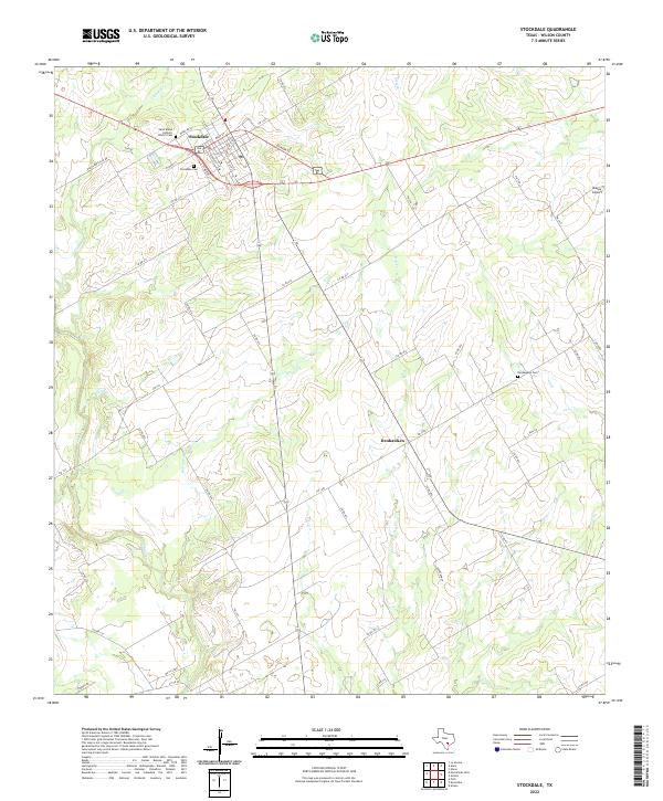
USGS Topo · Published 1987About this map
Stockdale serves as the primary hub of this Wilson County landscape, where the local economy in the early 1960s is defined by a mix of ranching, resource extraction, and early transportation infrastructure. Evidence of the region's energy history is visible at the Scotty Oil Field and scattered oil wells, while an Old Railroad Grade running through the northern sector indicates the evolution of transit in the area.
Find a feature on this map
26 named features on this map. Tap any name to fly to it.
Don’t see what you’re looking for? This feature index may not catch every label — zoom into the map to look around manually.
Map Details
Date Portrayed1961
Date Published1987
PublisherU.S. Geological Survey
Map TypeTopographic
Scale1:24000
Physical Dimensions23 x 26.9 inches
Editions of this 1961 Stockdale Map
2 editions found
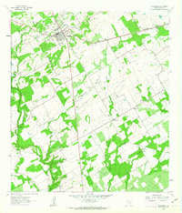
Historical Maps of Stockdale Through Time
Featured Locations
Source Details
SourceU.S. Geological Survey
CopyrightPublic Domain