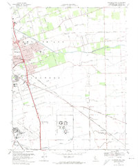
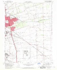
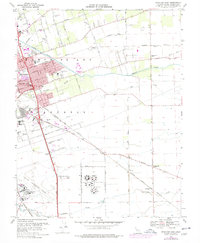
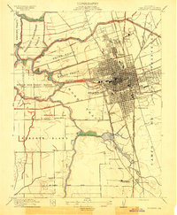
1968 Map of Stockton East
USGS Topo · Published 1974About this map
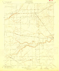
The eastern edges of Stockton and the surrounding agricultural landscape of San Joaquin County are detailed in this 1968 survey. The map highlights the city's growth into suburban areas like Fair Oaks and Garden Acres, which are interspersed with several local institutions including Franklin High Sch and Elmwood Sch. A network of major transportation routes converges here, featuring the Stockton Metropolitan Airport, the Tidewater Southern railway, and the Atchison Topeka and Santa Fe line.
Find a feature on this map
43 named features on this map. Tap any name to fly to it.
Don’t see what you’re looking for? This feature index may not catch every label — zoom into the map to look around manually.
Map Details
Editions of this 1968 Stockton East Map
4 editions found

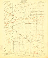
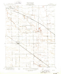
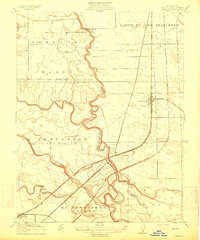
Other maps of this area

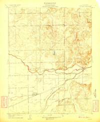
1894 · Lodi
USGS Topo · 1:125,000

1908 · Waterloo
USGS Topo · 1:31,680
1908 · Linden
USGS Topo · 1:31,680

1910 · Castle
USGS Topo · 1:31,680
1913 · Stockton
USGS Topo · 1:31,680
1914 · Burnham
USGS Topo · 1:31,680
1914 · Manteca
USGS Topo · 1:31,680

1914 · Avena
USGS Topo · 1:31,680
1915 · Lathrop
USGS Topo · 1:31,680
1915 · Peters
USGS Topo · 1:31,680