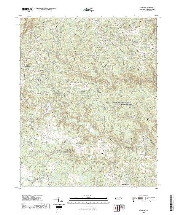
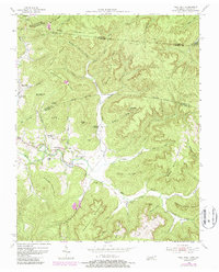
2022 Map of Stockton
USGS Topo · Published 2022This historical map portrays the area of Stockton in 2022, primarily covering Fentress County. Featuring a scale of 1:24000, this map provides a highly detailed snapshot of the terrain, roads, buildings, counties, and historical landmarks in the Stockton region at the time. Published in 2022, it is the sole known edition of this map.
Find a feature on this map
115 named features on this map. Tap any name to fly to it.
Don’t see what you’re looking for? This feature index may not catch every label — zoom into the map to look around manually.
Map Details
Editions of this 2022 Stockton Map
This is the sole edition of this map. No revisions or reprints were ever made.
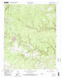
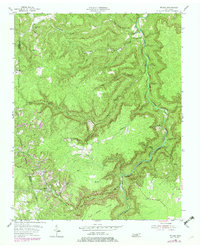
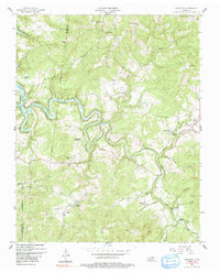
Historical Maps of Stockton Through Time
13 maps found
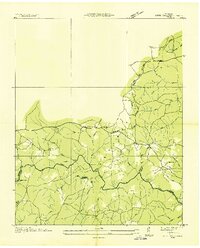
1936 Jones Knob
Fentress County, TN
1949 Jones Knob
Fentress County, TN
1954 Burrville
Fentress County, TN
1954 Pall Mall
Fentress County, TN
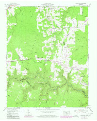
1954 Stockton
Fentress County, TN
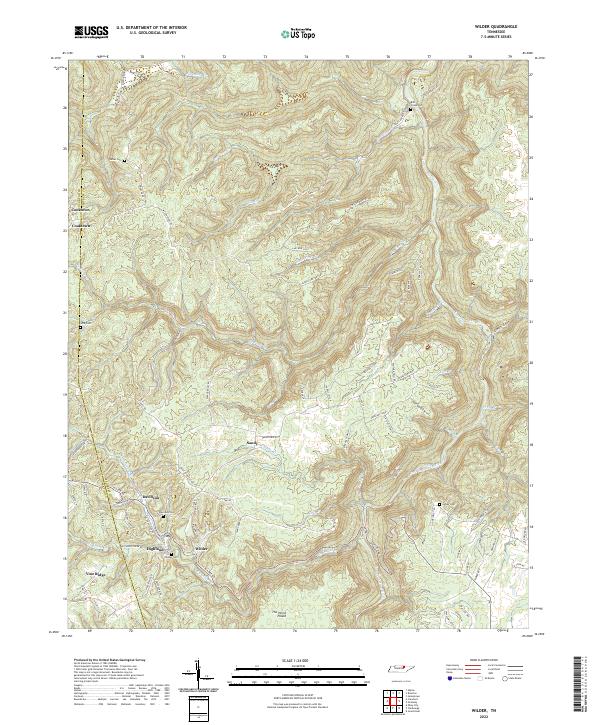
1955 Wilder
Fentress County, TN
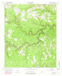
1956 Riverton
Fentress County, TN
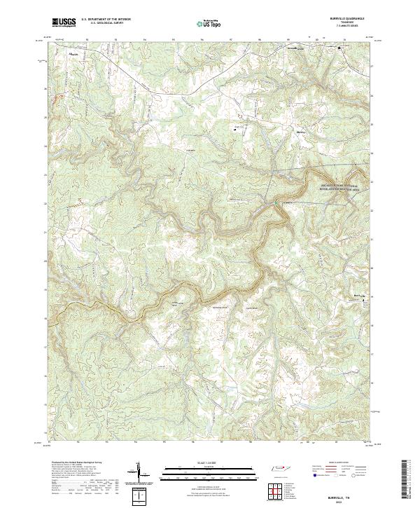
2022 Burrville
Fentress County, TN
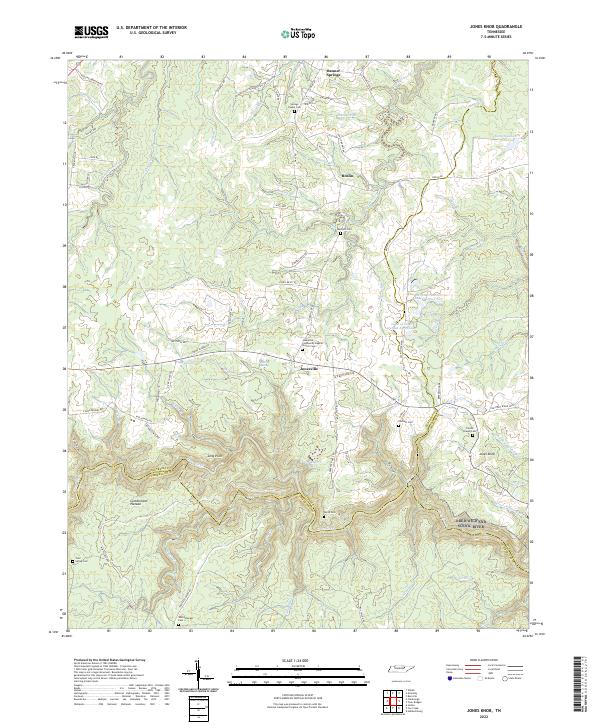
2022 Jones Knob
Fentress County, TN
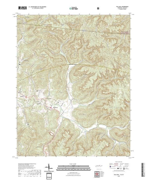
2022 Pall Mall
Fentress County, TN
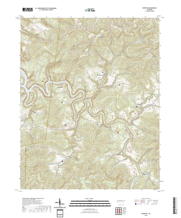
2022 Riverton
Fentress County, TN
2022 Stockton
Fentress County, TN
2022 Wilder
Fentress County, TN