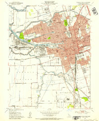
1952 Map of Stockton West
USGS Topo · Published 1954About this map
Stockton operates as a vital inland port and rail hub in the early 1950s, defined by the intricate network of the San Joaquin River and the engineered Stockton Deep Water Channel. The city’s expansion is evident in neighborhoods like Fair Oaks and The Homestead, while the western fringes remain dominated by industrial and military installations such as the Naval Reservation on Rough and Ready Island.
Find a feature on this map
96 named features on this map. Tap any name to fly to it.
Don’t see what you’re looking for? This feature index may not catch every label — zoom into the map to look around manually.
Map Details
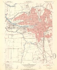
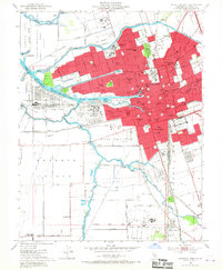
Editions of this 1952 Stockton West Map
3 editions found
Other maps of this area

1894 · Lodi
USGS Topo · 1:125,000

1908 · Waterloo
USGS Topo · 1:31,680

1910 · Castle
USGS Topo · 1:31,680

1910 · Headreach
USGS Topo · 1:31,680

1913 · Stockton
USGS Topo · 1:31,680

1913 · Holt
USGS Topo · 1:31,680

1914 · Burnham
USGS Topo · 1:31,680

1914 · Manteca
USGS Topo · 1:31,680

1914 · Union Island
USGS Topo · 1:31,680

1915 · Lathrop
USGS Topo · 1:31,680