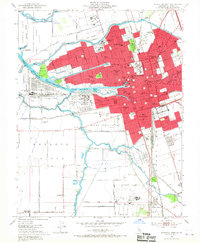
1952 Map of Stockton West
USGS Topo · Published 1967About this map
The San Joaquin River and its intricate network of sloughs and canals anchor this mid-century portrait of a major inland port and agricultural hub. The city of Stockton dominates the central landscape, showing its transition from a historic river town into a modern industrial center. To the west, the Port of Stockton and its Turning Basin mark the terminus of deep-water navigation, flanked by the Naval Reservation on Rough and Ready Island. This survey captures the complex water management system essential to the region, including the Diverting Canal and Mormon Slough. Notable educational and institutional landmarks are densely clustered, from the College of the Pacific and Stockton College to the expansive State Hospital grounds. To the south, the settlement of French Camp remains distinct amidst the surrounding Roberts Island farmland, while the eastern fringes show growing residential areas like Fair Oaks and The Homestead.
Find a feature on this map
89 named features on this map. Tap any name to fly to it.
Don’t see what you’re looking for? This feature index may not catch every label — zoom into the map to look around manually.
Map Details
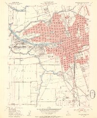
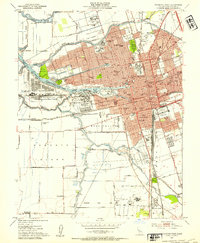
Editions of this 1952 Stockton West Map
3 editions found
Other maps of this area

1894 · Lodi
USGS Topo · 1:125,000

1908 · Waterloo
USGS Topo · 1:31,680

1910 · Castle
USGS Topo · 1:31,680

1910 · Headreach
USGS Topo · 1:31,680

1913 · Stockton
USGS Topo · 1:31,680

1913 · Holt
USGS Topo · 1:31,680

1914 · Burnham
USGS Topo · 1:31,680

1914 · Manteca
USGS Topo · 1:31,680

1914 · Union Island
USGS Topo · 1:31,680

1915 · Lathrop
USGS Topo · 1:31,680