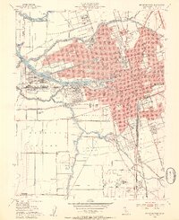
1952 Map of Stockton West
USGS Topo · Published 1954About this map
The Stockton Deep Water Channel and the Turning Basin dominate this mid-century portrait of a city defined by its relationship with the water. As a major inland port, Stockton thrived on the complex network of the San Joaquin River and Mormon Slough, where rail lines like the Southern Pacific and Western Pacific converged to move agricultural wealth from the valley to the world. The map reveals the civic and educational heart of the region, featuring the campus of the College of the Pacific and the Stockton College alongside the Memorial Stadium. South of the urban core, the landscape transitions into the fertile Roberts Island and the Moss Tract, where pump houses and levees manage the low-lying terrain. Significant local history is preserved in the detailed marking of the Stockton Rural Cemetery and specialized sites like the State Hospital and County Fairgrounds.
Find a feature on this map
97 named features on this map. Tap any name to fly to it.
Don’t see what you’re looking for? This feature index may not catch every label — zoom into the map to look around manually.
Map Details
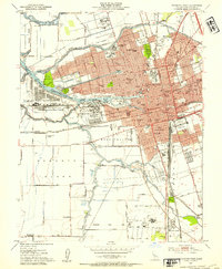
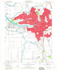
Editions of this 1952 Stockton West Map
3 editions found
Other maps of this area

1894 · Lodi
USGS Topo · 1:125,000

1908 · Waterloo
USGS Topo · 1:31,680

1910 · Castle
USGS Topo · 1:31,680

1910 · Headreach
USGS Topo · 1:31,680

1913 · Stockton
USGS Topo · 1:31,680

1913 · Holt
USGS Topo · 1:31,680

1914 · Burnham
USGS Topo · 1:31,680

1914 · Manteca
USGS Topo · 1:31,680

1914 · Union Island
USGS Topo · 1:31,680

1915 · Lathrop
USGS Topo · 1:31,680