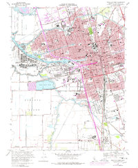
1968 Map of Stockton West
USGS Topo · Published 1978About this map
Stockton serves as a critical maritime and rail hub in this mid-century portrait of the Central Valley. The Port of Stockton Deep Water Channel connects the city to the San Joaquin River, facilitating a heavy industrial and logistics network that includes the Sharpe Army Depot (Field Annex) and the Stockton Metropolitan Airport. The map highlights a dense educational landscape, featuring the University of the Pacific and San Joaquin Delta College, alongside numerous local schools like Stagg High Sch.
Find a feature on this map
116 named features on this map. Tap any name to fly to it.
Don’t see what you’re looking for? This feature index may not catch every label — zoom into the map to look around manually.
Map Details
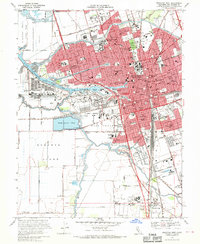
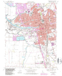
Editions of this 1968 Stockton West Map
3 editions found
Other maps of this area

1894 · Lodi
USGS Topo · 1:125,000

1908 · Waterloo
USGS Topo · 1:31,680

1910 · Castle
USGS Topo · 1:31,680

1910 · Headreach
USGS Topo · 1:31,680

1913 · Stockton
USGS Topo · 1:31,680

1913 · Holt
USGS Topo · 1:31,680

1914 · Burnham
USGS Topo · 1:31,680

1914 · Manteca
USGS Topo · 1:31,680

1914 · Union Island
USGS Topo · 1:31,680

1915 · Lathrop
USGS Topo · 1:31,680