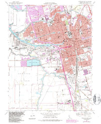
1968 Map of Stockton West
USGS Topo · Published 1987About this map
The Port of Stockton serves as the focal point of this industrial and maritime hub, where the San Joaquin River and Deep Water Channel meet the Turning Basin. This late-1960s landscape shows the city's complex relationship with its waterways, featuring expansive tracts like the Moss Tract and Sargent-Barnhart Tract alongside the heavy infrastructure of the US Naval Reservation on Rough and Ready Island. The city's social and institutional fabric is densely mapped, from the University of the Pacific and Stockton State Hospital to a significant cluster of religious and memorial sites including the Stockton Rural Cemetery, Hebrew Cem, and Adas Yeshuran Cem. To the south, the transition from urban density to industrial logistics is evident near French Camp and the Sharpe Army Depot (Field Annex), while a network of railroads like the Stockton Terminal and Eastern ties the waterfront to the valley's interior.
Find a feature on this map
95 named features on this map. Tap any name to fly to it.
Don’t see what you’re looking for? This feature index may not catch every label — zoom into the map to look around manually.
Map Details
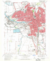
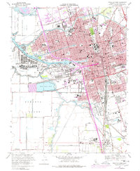
Editions of this 1968 Stockton West Map
3 editions found
Other maps of this area

1894 · Lodi
USGS Topo · 1:125,000

1908 · Waterloo
USGS Topo · 1:31,680

1910 · Castle
USGS Topo · 1:31,680

1910 · Headreach
USGS Topo · 1:31,680

1913 · Stockton
USGS Topo · 1:31,680

1913 · Holt
USGS Topo · 1:31,680

1914 · Burnham
USGS Topo · 1:31,680

1914 · Manteca
USGS Topo · 1:31,680

1914 · Union Island
USGS Topo · 1:31,680

1915 · Lathrop
USGS Topo · 1:31,680