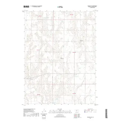
2017 Map of Stockville SE
USGS Topo · Published 2017About this map
Mitchell Creek Canyon and Deer Creek Canyon carve through this section of Frontier County, revealing the complex drainage systems of the Nebraska loess hills. The landscape is defined by its water management and agricultural infrastructure, featuring several engineered catchments such as Hinton Reservoir Number 1 and Frontier County Road Reservoir Number 1. This 2017 survey illustrates the intricate network of section-line roads, including RD 400 and RD 741, which navigate the high ridges between deep-set seasonal waterways like Medicine Cr and Cedar Cr. The primary east-west corridor, State Hwy 18, skirts the southern edges of the canyons, providing a window into the contemporary rural economy and land use patterns of the Great Plains.
Find a feature on this map
23 named features on this map. Tap any name to fly to it.
Don’t see what you’re looking for? This feature index may not catch every label — zoom into the map to look around manually.
Map Details
Editions of this 2017 Stockville SE Map
This is the sole edition of this map. No revisions or reprints were ever made.
Other maps of this area

1902 · Gothenburg
USGS Topo · 1:125,000

1954 · McCook
USGS Topo · 1:250,000

1956 · Freedom
USGS Topo · 1:24,000

1956 · Stockville NE
USGS Topo · 1:24,000

1956 · Moorefield
USGS Topo · 1:24,000

1956 · Medicine Creek Dam
USGS Topo · 1:24,000

1956 · Stockville
USGS Topo · 1:24,000

1956 · Bartley NW
USGS Topo · 1:24,000

1956 · Stockville SE
USGS Topo · 1:24,000

1957 · McCook
USGS Topo · 1:250,000