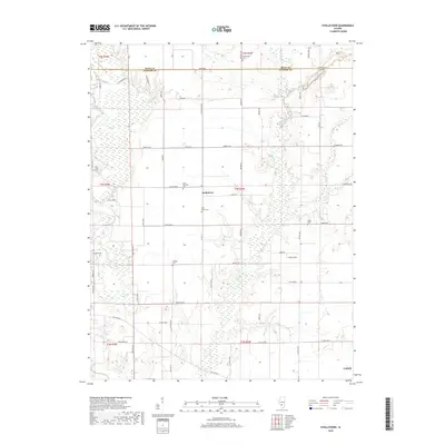
2018 Map of Stolletown
USGS Topo · Published 2018About this map
Stolletown and the northern outskirts of Carlyle anchor this landscape along the boundary of Clinton Co and Bond Co. The terrain is defined by the winding course of Shoal Creek in the west and the wetlands surrounding Beaver Creek and Flat Br to the east. This 2018 survey reveals a rural infrastructure of named roads such as Old State Rd and Emerald Rd, providing a detailed look at the layout of family farms and local connections. Numerous burial sites are scattered across the quadrangle, including Saint Felicitas Cem, Saint Peter Cem, and Yingst Cem, which offer significant value for genealogical research in this part of Illinois. Significant water features like Big Lake and Frogtown Lake suggest a landscape prone to seasonal drainage, while the grid of county roads indicates a stable agricultural community established long before this modern topographic update.
Find a feature on this map
64 named features on this map. Tap any name to fly to it.
Don’t see what you’re looking for? This feature index may not catch every label — zoom into the map to look around manually.
Map Details
Editions of this 2018 Stolletown Map
This is the sole edition of this map. No revisions or reprints were ever made.
Other maps of this area

1906 · Breese
USGS Topo · 1:62,500

1907 · Breese
USGS Topo · 1:62,500

1910 · Carlyle
USGS Topo · 1:62,500

1932 · Greenville
USGS Topo · 1:62,500

1937 · New Douglas
USGS Topo · 1:48,000

1939 · Greenville
USGS Topo · 1:62,500

1943 · Greenville
USGS Topo · 1:62,500

1944 · New Douglas
USGS Topo · 1:62,500

1948 · Carlyle
USGS Topo · 1:62,500

1958 · Belleville
USGS Topo · 1:250,000