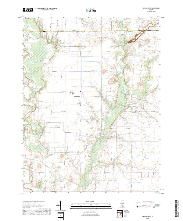
2024 Map of Stolletown
USGS Topo · Published 2024About this map
Stolletown serves as the central hub of this agricultural landscape along the Bond Co and Clinton Co border. The terrain is defined by the winding course of Beaver Creek and the western edge of Shoal Creek, which feed into local water features like Big Lake and Frogtown Lake. This rural region is deeply marked by its early settlement history, evidenced by a dense concentration of family and parish burial grounds.
Find a feature on this map
57 named features on this map. Tap any name to fly to it.
Don’t see what you’re looking for? This feature index may not catch every label — zoom into the map to look around manually.
Map Details
Editions of this 2024 Stolletown Map
This is the sole edition of this map. No revisions or reprints were ever made.
Other maps of this area

1906 · Breese
USGS Topo · 1:62,500

1907 · Breese
USGS Topo · 1:62,500

1910 · Carlyle
USGS Topo · 1:62,500

1932 · Greenville
USGS Topo · 1:62,500

1937 · New Douglas
USGS Topo · 1:48,000

1939 · Greenville
USGS Topo · 1:62,500

1943 · Greenville
USGS Topo · 1:62,500

1944 · New Douglas
USGS Topo · 1:62,500

1948 · Carlyle
USGS Topo · 1:62,500

1958 · Belleville
USGS Topo · 1:250,000