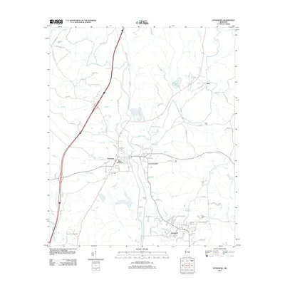
2012 Map of Stonewall
USGS Topo · Published 2012About this map
The Chickasawhay River and Okatibbee Cr converge near the established community of Stonewall, a landscape defined by its riparian corridors and small-town Mississippi character. This 2012 survey documents the split development of Enterprise, with separate hubs at West Enterprise and East Enterprise flanking the waterway. Local history and genealogy are anchored by several rural burial grounds, including Zion Chapel Cem and Kramer Cem, while the Enterprise Lookout Tower stands as a notable landmark overlooking the surrounding piney woods and creek bottoms.
Find a feature on this map
116 named features on this map. Tap any name to fly to it.
Don’t see what you’re looking for? This feature index may not catch every label — zoom into the map to look around manually.
Map Details
Editions of this 2012 Stonewall Map
This is the sole edition of this map. No revisions or reprints were ever made.
Other maps of this area

1921 · Meridian
USGS Topo · 1:48,000

1923 · Meridian
USGS Topo · 1:62,500

1953 · Meridian
USGS Topo · 1:250,000

1957 · Meridian
USGS Topo · 1:250,000

1957 · Chunky
USGS Topo · 1:62,500

1957 · Quitman
USGS Topo · 1:62,500

1957 · Enterprise
USGS Topo · 1:62,500

1965 · Meridian
USGS Topo · 1:250,000

1971 · Meridian South
USGS Topo · 1:24,000

1982 · Meehan
USGS Topo · 1:24,000