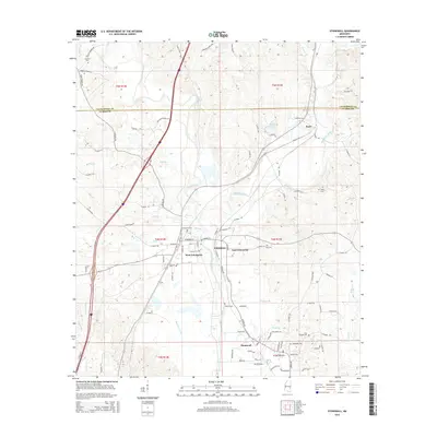
2015 Map of Stonewall
USGS Topo · Published 2015About this map
The Chickasawhay River and Chunky River converge in this territory, defining the development of communities like Enterprise and Stonewall. These waterways historically powered the industry of the region, evidenced by the proximity of the Old Mill Creek Rd and the significant falls at Dunns Falls. The settlement patterns are densely represented here, with West Enterprise and East Enterprise flanking the riverbanks, while the town of Basic sits further northeast along the Lauderdale and Clarke county line. The landscape is dotted with ancestral landmarks, including the Stonewall Cem, Zion Chapel Cem, and Alday Cem, providing a detailed record for genealogists. The road network, including Stucky Bridge Rd and Point Wanita Rd, connects these established river towns with the surrounding rural timberlands and family properties like Family Farm Rd.
Find a feature on this map
104 named features on this map. Tap any name to fly to it.
Don’t see what you’re looking for? This feature index may not catch every label — zoom into the map to look around manually.
Map Details
Editions of this 2015 Stonewall Map
This is the sole edition of this map. No revisions or reprints were ever made.
Other maps of this area

1921 · Meridian
USGS Topo · 1:48,000

1923 · Meridian
USGS Topo · 1:62,500

1953 · Meridian
USGS Topo · 1:250,000

1957 · Meridian
USGS Topo · 1:250,000

1957 · Chunky
USGS Topo · 1:62,500

1957 · Quitman
USGS Topo · 1:62,500

1957 · Enterprise
USGS Topo · 1:62,500

1965 · Meridian
USGS Topo · 1:250,000

1971 · Meridian South
USGS Topo · 1:24,000

1982 · Meehan
USGS Topo · 1:24,000