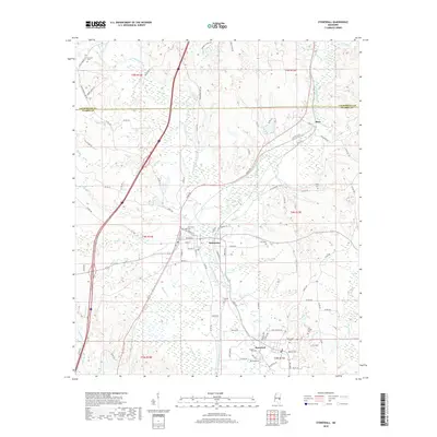
2018 Map of Stonewall
USGS Topo · Published 2018About this map
The Chickasahay River and Okatibbee Creek converge in this territory, marking a landscape defined by significant watercourse confluences. The town of Enterprise is situated near the junction of the Chunky River and Okatibbee, while further south, the namesake town of Stonewall spans the banks of the Chickasahay. This area is noted for its high concentration of family and community burial grounds, including Kramer Cem, East Cem, and Zion Chapel Cem.
Find a feature on this map
101 named features on this map. Tap any name to fly to it.
Don’t see what you’re looking for? This feature index may not catch every label — zoom into the map to look around manually.
Map Details
Editions of this 2018 Stonewall Map
This is the sole edition of this map. No revisions or reprints were ever made.
Other maps of this area

1921 · Meridian
USGS Topo · 1:48,000

1923 · Meridian
USGS Topo · 1:62,500

1953 · Meridian
USGS Topo · 1:250,000

1957 · Meridian
USGS Topo · 1:250,000

1957 · Chunky
USGS Topo · 1:62,500

1957 · Quitman
USGS Topo · 1:62,500

1957 · Enterprise
USGS Topo · 1:62,500

1965 · Meridian
USGS Topo · 1:250,000

1971 · Meridian South
USGS Topo · 1:24,000

1982 · Meehan
USGS Topo · 1:24,000