2024 Map of Stonewall
USGS Topo · Published 2024About this map
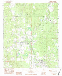
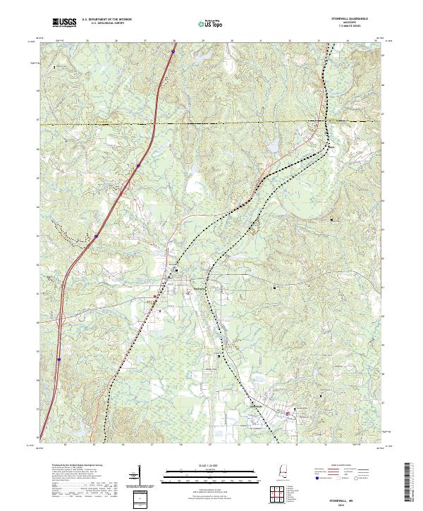
The Chickasawhay River and its tributary, the Chunky River, converge near Enterprise, anchoring a landscape defined by water-driven history and early transit corridors. This modern survey detail shows the river valley's transition as it flows south toward Stonewall, tracing the path of the Interstate 59 corridor alongside older county routes like Co RD 371. Local genealogy and land use are well-documented through numerous burial sites, including the Enterprise Cem, Zion Chapel Cem, and Alday Cem.
Find a feature on this map
101 named features on this map. Tap any name to fly to it.
Don’t see what you’re looking for? This feature index may not catch every label — zoom into the map to look around manually.
Map Details
Editions of this 2024 Stonewall Map
This is the sole edition of this map. No revisions or reprints were ever made.