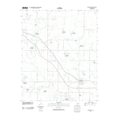
2009 Map of Stonewall
USGS Topo · Published 2009About this map
Stonewall serves as the primary hub of this 2009 survey, situated where Buck Creek joins the larger drainage networks of Pontotoc County. The surrounding landscape is defined by an extensive water management system featuring numerous flood control structures such as Upper Clear Boggy Creek Site 45 Dam and the associated Upper Clear Boggy Creek Site 45 Reservoir. These man-made features interact with natural waterways like Bois d'Arc Creek and Rhoda Creek, illustrating a highly engineered hydrologic environment intended to manage the flow toward the Red River basin.
Find a feature on this map
52 named features on this map. Tap any name to fly to it.
Don’t see what you’re looking for? This feature index may not catch every label — zoom into the map to look around manually.
Map Details
Editions of this 2009 Stonewall Map
This is the sole edition of this map. No revisions or reprints were ever made.
Other maps of this area

1896 · Coalgate
USGS Topo · 1:125,000

1899 · Coalgate
USGS Topo · 1:125,000

1900 · Coalgate
USGS Topo · 1:125,000

1901 · Stonewall
USGS Topo · 1:125,000

1957 · Stonewall
USGS Topo · 1:24,000

1957 · Ardmore
USGS Topo · 1:250,000

1958 · Lula
USGS Topo · 1:24,000

1958 · Francis
USGS Topo · 1:24,000

1958 · Steedman
USGS Topo · 1:24,000

1958 · Ada
USGS Topo · 1:24,000