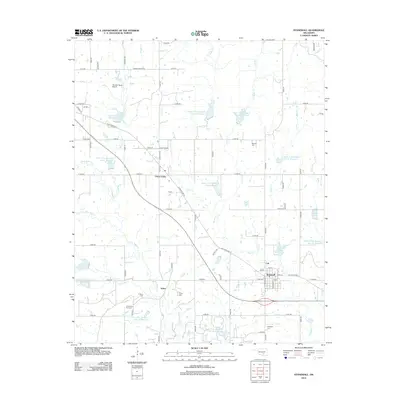
2012 Map of Stonewall
USGS Topo · Published 2012About this map
Stonewall serves as the primary hub of this eastern Pontotoc County landscape, situated near the intersection of Old State Hwy 3 and the Buck Creek drainage system. The area reflects a complex water management history, dominated by a series of flood control reservoirs such as Upper Clear Boggy Cr Site 45 Reservoir and Upper Clear Boggy Cr Site 49 Reservoir that dot the landscape north of the Clear Boggy Creek forks.
Find a feature on this map
73 named features on this map. Tap any name to fly to it.
Don’t see what you’re looking for? This feature index may not catch every label — zoom into the map to look around manually.
Map Details
Editions of this 2012 Stonewall Map
This is the sole edition of this map. No revisions or reprints were ever made.
Other maps of this area

1896 · Coalgate
USGS Topo · 1:125,000

1899 · Coalgate
USGS Topo · 1:125,000

1900 · Coalgate
USGS Topo · 1:125,000

1901 · Stonewall
USGS Topo · 1:125,000

1957 · Stonewall
USGS Topo · 1:24,000

1957 · Ardmore
USGS Topo · 1:250,000

1958 · Lula
USGS Topo · 1:24,000

1958 · Francis
USGS Topo · 1:24,000

1958 · Steedman
USGS Topo · 1:24,000

1958 · Ada
USGS Topo · 1:24,000