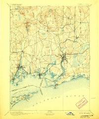
1893 Map of Stonington
USGS Topo · Published 1906About this map
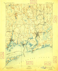
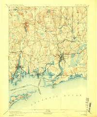
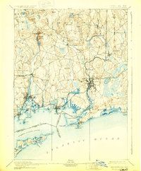
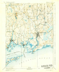
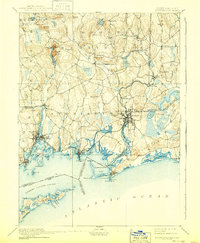
The Pawcatuck River forms a natural border between the coastal settlements of Connecticut and Rhode Island in this late nineteenth-century survey. Industry and maritime commerce define the shoreline, with the New York Providence and Boston Railroad linking the major hubs of Westerly, Stonington, and Mystic Bridge. To the north, the landscape is punctuated by glacial hills and isolated industry, such as the Silex Mine near Lantern Hill. Inland villages like North Stonington, Ashaway, and Potter Hill appear as modest clusters of activity along the smaller stream valleys feeding into the sound. The map details the intricate coastline of Little Narragansett Bay and the varied terrain of Fishers Island, documenting a period when Watch Hill Pt. and Napatree Beach were remote coastal landmarks before the arrival of modern development.
Find a feature on this map
72 named features on this map. Tap any name to fly to it.
Don’t see what you’re looking for? This feature index may not catch every label — zoom into the map to look around manually.
Map Details
Editions of this 1893 Stonington Map
10 editions found
Other maps of this area

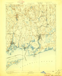
1889 · Stonington
USGS Topo · 1:62,500

1889 · Charlestown
USGS Topo · 1:62,500

1889 · Block Island
USGS Topo · 1:62,500

1889 · Moosup
USGS Topo · 1:62,500

1890 · Kent
USGS Topo · 1:62,500

1892 · New London
USGS Topo · 1:62,500

1892 · Norwich
USGS Topo · 1:62,500

1893 · Moosup
USGS Topo · 1:62,500

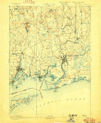
1893 · Stonington
USGS Topo · 1:62,500

1893 · New London
USGS Topo · 1:62,500