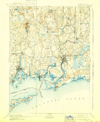
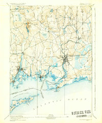
1893 Map of Stonington
USGS Topo · Published 1940About this map
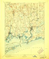
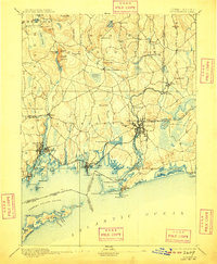
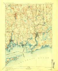
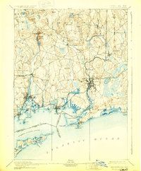
The New York Providence and Boston Railroad dictates the coastal industrial rhythm of this late-19th-century landscape, threading through the bustling maritime hubs of Mystic Bridge and Westerly. Inland, the terrain is defined by glacial hills and significant resource extraction, most notably at the Silex Mine located near Lantern Hill. This survey captures the intricate water systems of the Pawcatuck River and its numerous tributaries like Anguilla Brook, which supported mills and settlements along the state line. Along the jagged coastline, navigational markers such as the Light House at Stonington Pt. and the Light Vessel in Fishers Island Sound speak to the area's deep-rooted dependence on the sea. From the heights of Prentice Mt. to the protective reach of Napatree Pt., the map documents a transition from industrial river towns to historic seafaring villages.
Find a feature on this map
98 named features on this map. Tap any name to fly to it.
Don’t see what you’re looking for? This feature index may not catch every label — zoom into the map to look around manually.
Map Details
Editions of this 1893 Stonington Map
10 editions found
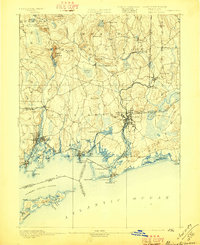
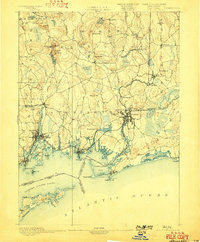
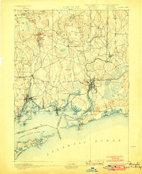
Other maps of this area

1889 · Stonington
USGS Topo · 1:62,500

1889 · Charlestown
USGS Topo · 1:62,500

1889 · Block Island
USGS Topo · 1:62,500

1889 · Moosup
USGS Topo · 1:62,500

1890 · Kent
USGS Topo · 1:62,500

1892 · New London
USGS Topo · 1:62,500

1892 · Norwich
USGS Topo · 1:62,500

1893 · Moosup
USGS Topo · 1:62,500

1893 · Stonington
USGS Topo · 1:62,500

1893 · New London
USGS Topo · 1:62,500